Take-out
MI
Take Out
Save this feature with the run it belongs to.
Gauge Conditions
Data from American Whitewater & USGS
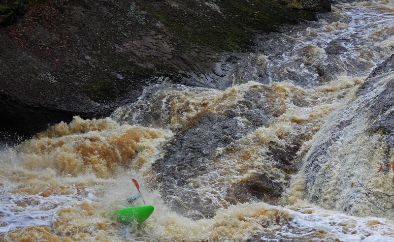
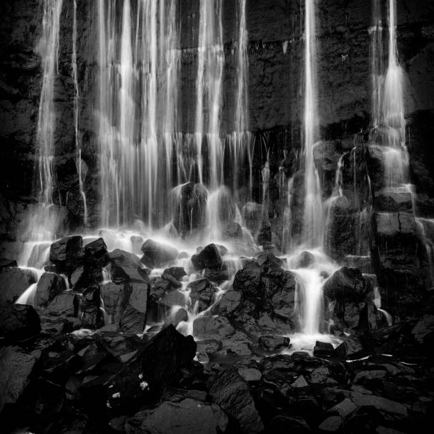
Photo
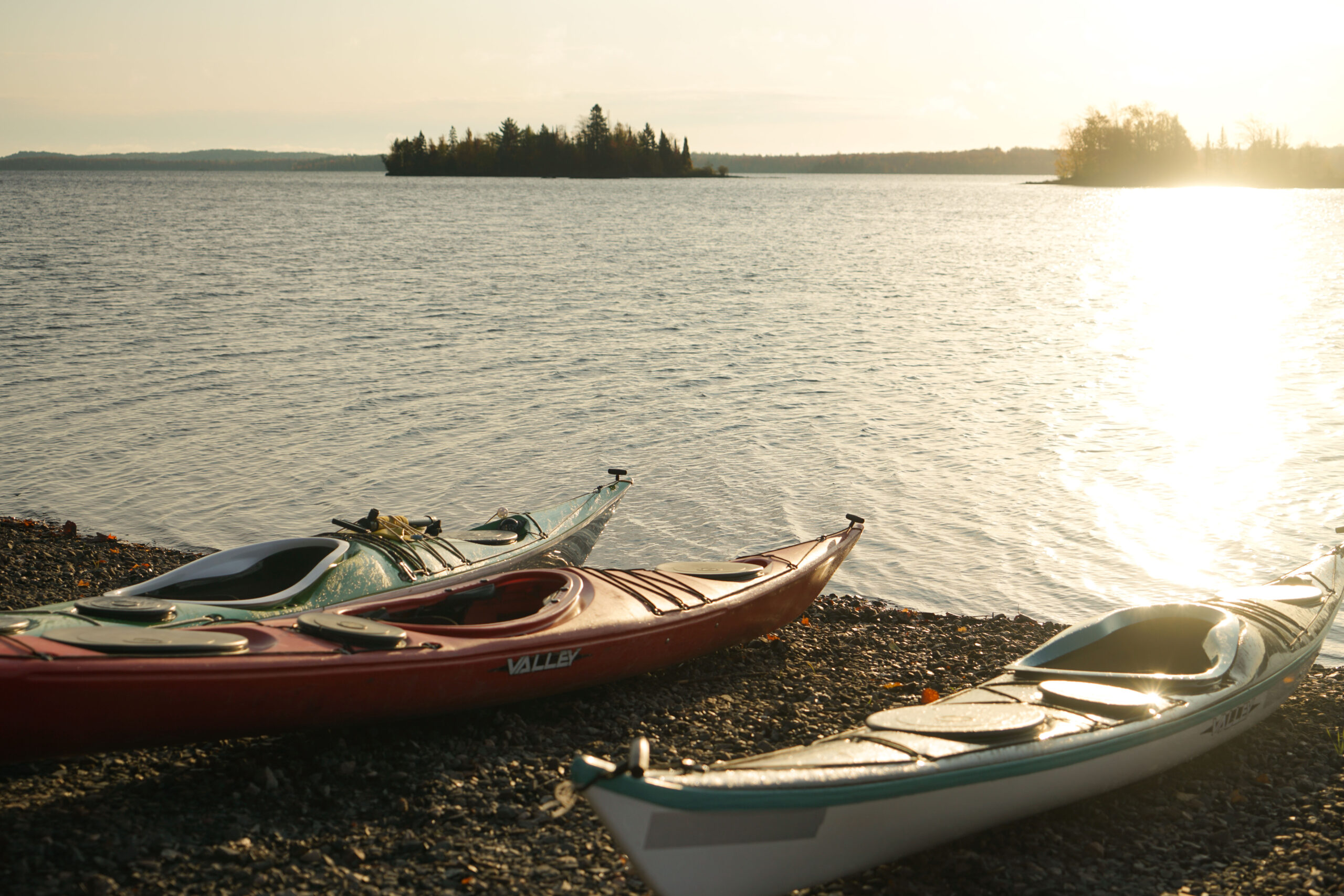
Photo courtesy of American Whitewater
Description
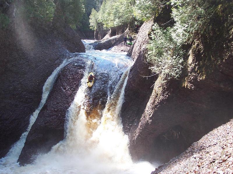
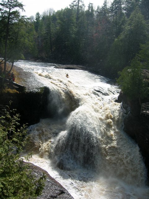
Take Out rapid marks the end of the Lower Black River section before Lake Superior, with potentially complex navigation through a boulder-strewn runout that requires precise maneuvering. Paddlers should be prepared for potential shifting channels and submerged obstacles, and scout the rapid carefully to identify the cleanest route through the terminal rapids before the lake confluence.
Location
Other Rapids on This Run (12)
 Waterfall
IV
Waterfall
IV
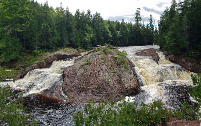
Great Conglomerate Falls
 Waterfall
V
Waterfall
V
Potawatomi Falls
 Hazard
N/A
Hazard
N/A
Birth Canal
 Waterfall
IV+
Waterfall
IV+
Gorge Falls
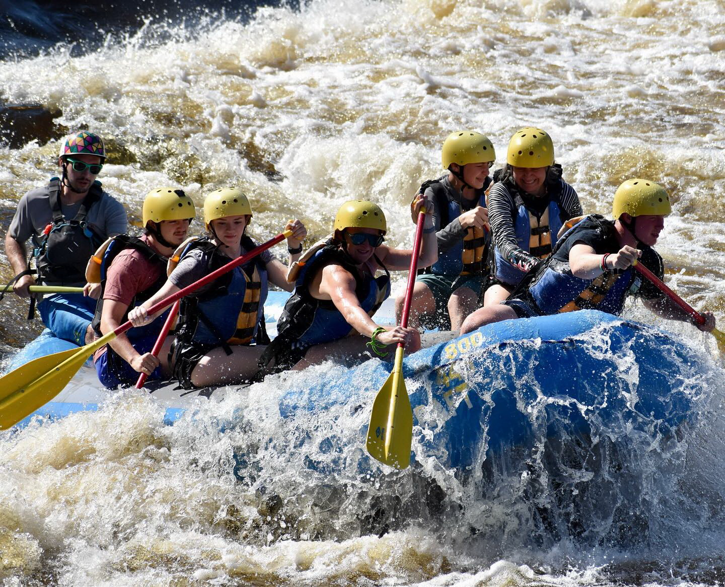
 Rapid
III+
Rapid
III+
RollerCoaster
 Waterfall
IV+
Waterfall
IV+
Sandstone Falls
 Waterfall
IV
Waterfall
IV
Right Channel: Surprise/Under-the-Falls
 Waterfall
IV+
Waterfall
IV+
Left Channel: No-Surprise/Over-the-Falls
 Rapid
III+
Rapid
III+
Bump & Thump
 Waterfall
III+
Waterfall
III+
Jills Delight
 Waterfall
IV
Waterfall
IV
Jill's Bypass
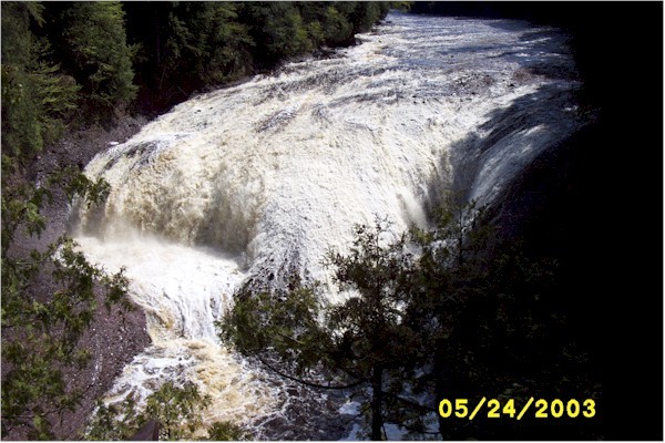
 Waterfall
V
Waterfall
V
Rainbow Falls
View Full Run
E) Lower: Conglomerate Falls to Lake Superior (2.0-2.6 miles)
Black
IV-V(V+)
7.0 mi
Current Conditions
5-Day Forecast
Whitewater data from
American Whitewater
American Whitewater