Gauge Conditions
Runnable: ? – ? CFS
Approximate - nearest available gauge. Use as general reference only.
Data from American Whitewater & USGS
Photo
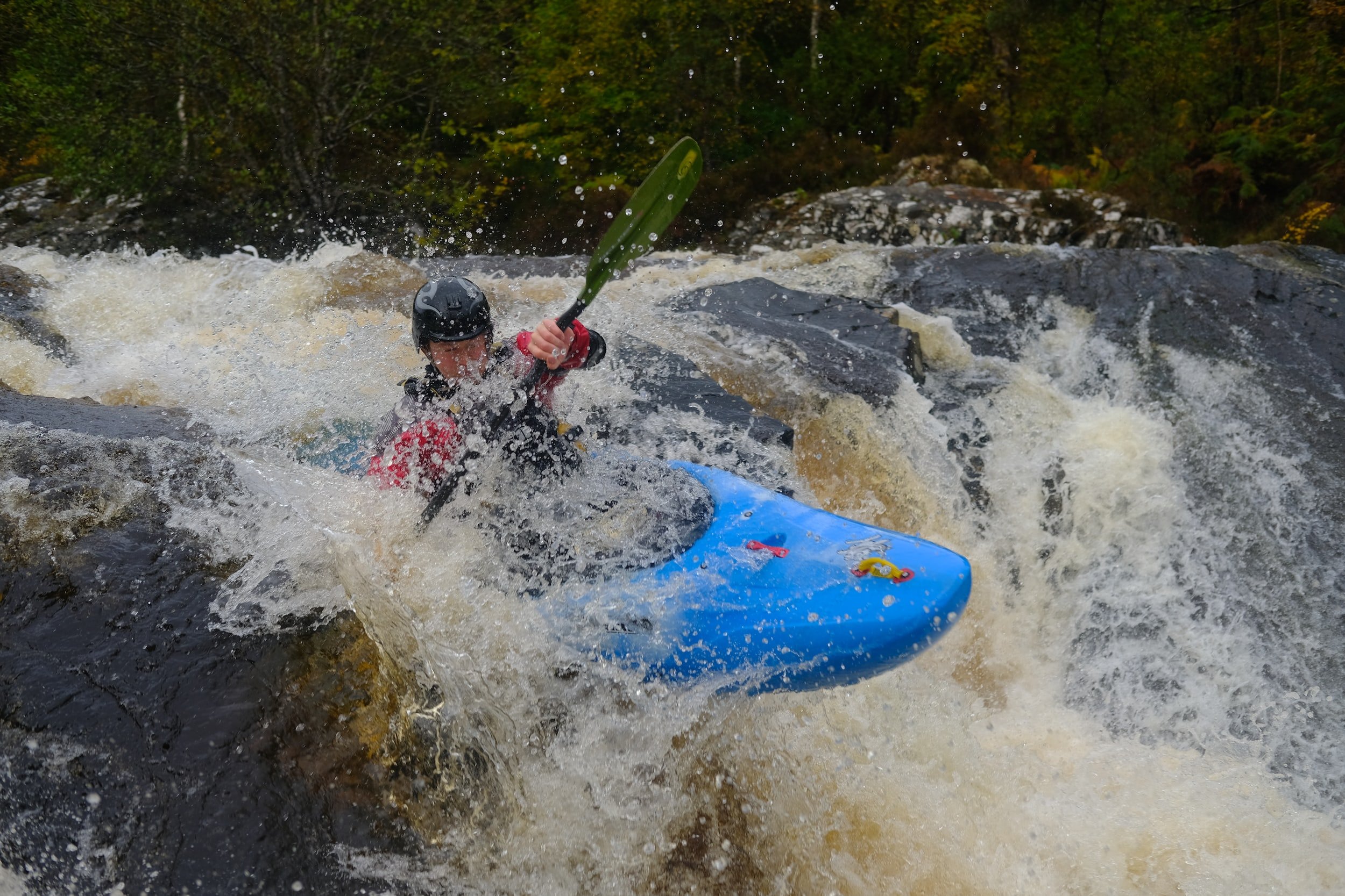
Photo courtesy of American Whitewater
Description
Take Out rapid marks the conclusion of the Elmo Creek run, featuring a tight constriction between boulder-lined banks that funnels water into an unpredictable channel with potential for pin hazards. Paddlers must carefully navigate a series of offset rocks and potential debris, with limited recovery options in the narrow downstream section.
Location
Other Rapids on This Run (1)
View Full Run
Headwaters to Hwy 220 (4.3 miles)
Elmo Creek
II-III
4.3 mi
Current Conditions
5-Day Forecast
Whitewater data from
American Whitewater
American Whitewater