Gauge Conditions
Runnable: ? – ? CFS
Approximate - nearest available gauge. Use as general reference only.
Data from American Whitewater & USGS
Photo

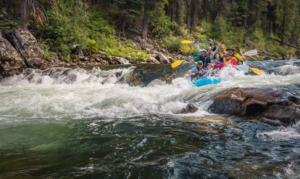
Photo courtesy of American Whitewater
Description
Take Out is a transition point marking the end of a remote wilderness run through Meyer Branch's upper section. While specifics about the rapid's technical features are limited, its location in the Headwaters suggests potentially challenging navigation through tight, rocky terrain with minimal margin for error in a wilderness setting.
Location
Other Rapids on This Run (1)
View Full Run
Headwaters to Middle Fork Illinois Bayou (2.8 + 8.4 miles)
Meyer Branch
III-IV+
11.1 mi
Current Conditions
5-Day Forecast
Whitewater data from
American Whitewater
American Whitewater