Take-out
WI
Take Out
Save this feature with the run it belongs to.
Gauge Conditions
Runnable: 2,000.0 – 6,000.0 CFS
Uncertain! Help us out! Add a comment about boatable range!
Data from American Whitewater & USGS
Photo

Photo courtesy of American Whitewater
Description
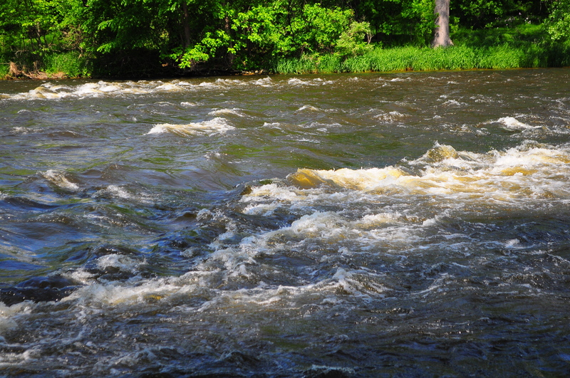
Take Out marks the end of this Red Cedar River section, characterized by a relatively straightforward approach with potential shallow areas and scattered rock gardens that require careful navigation. Paddlers should be prepared for potential strainers or debris near the take-out point, and maintain awareness of water levels which can significantly impact route selection and difficulty.
Location
Interactive river map
Loads as you approach this section.
View Full Run
Hwy.12 in Menomonie to CTH.D in Irvington (0.5 - 3.9 miles)
Red Cedar
I-II
3.8 mi
Current Conditions
5-Day Forecast
Whitewater data from
American Whitewater
American Whitewater