Gauge Conditions
Data from American Whitewater & USGS
Photo
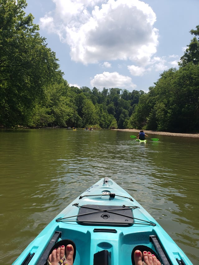
Photo courtesy of American Whitewater
Description
Take Out rapid marks the end of a challenging stretch on War Eagle Creek, signaling paddlers have nearly completed the 38-mile run. While specific details are limited, the rapid likely requires careful navigation through potential rock gardens or hydraulics typical of Ozark mountain streams, with paddlers needing to maintain situational awareness as they approach the takeout point near War Eagle Mill.
Location
Other Rapids on This Run (1)

View Full Run
Hwy 23 to War Eagle Mill (38 miles)
War Eagle Creek
I-II
27.5 mi
Current Conditions
5-Day Forecast
Whitewater data from
American Whitewater
American Whitewater