Gauge Conditions
Runnable: ? – ? CFS
Approximate - nearest available gauge. Use as general reference only.
Data from American Whitewater & USGS
Photo
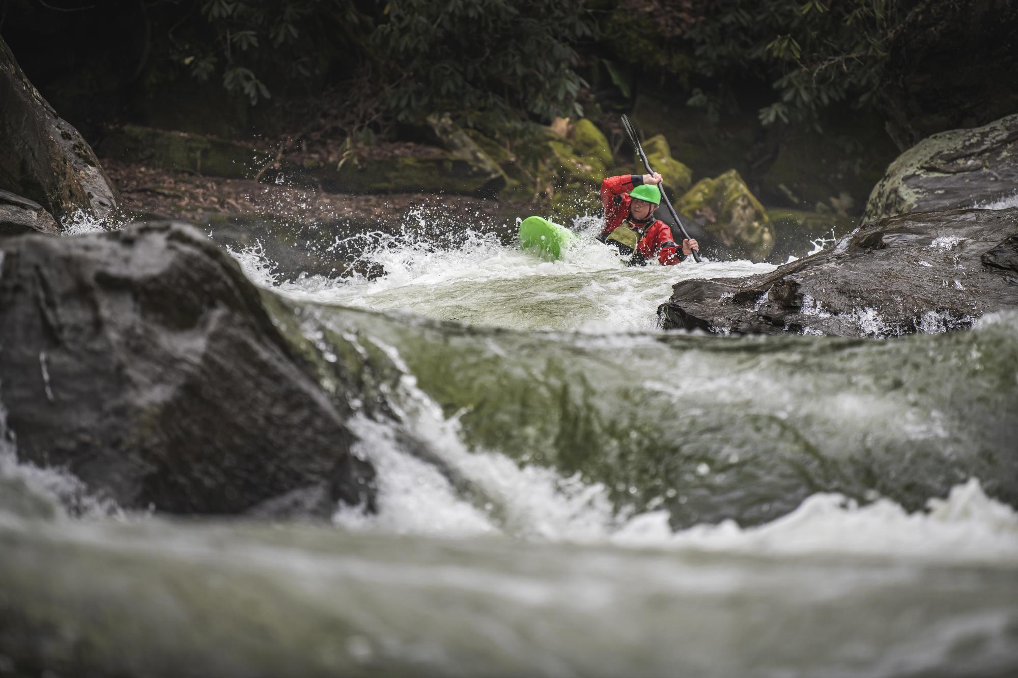
Photo courtesy of American Whitewater
Description
Take Out rapid offers minimal technical challenge on this Mill Creek section, with straightforward water flow and few notable obstacles. Paddlers should maintain standard downstream positioning and be aware of potential shallow areas or debris, though specific hazards are not prominent in this segment. Scout from the riverbank if water levels appear unusual or unfamiliar.
Location
Other Rapids on This Run (1)
View Full Run
Hwy 270 to Fourche LaFave River (3 miles)
Mill Creek (Scott County)
II-III
3.3 mi
Current Conditions
5-Day Forecast
Whitewater data from
American Whitewater
American Whitewater