Gauge Conditions
Data from American Whitewater & USGS
Photo
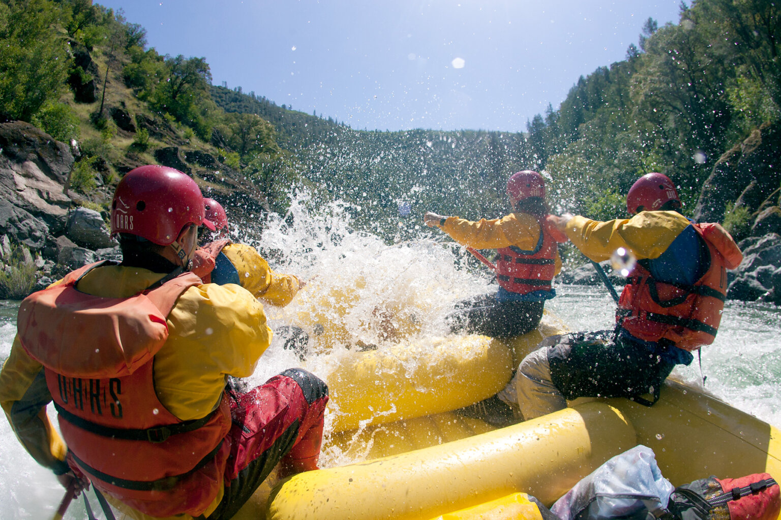
Photo courtesy of American Whitewater
Description
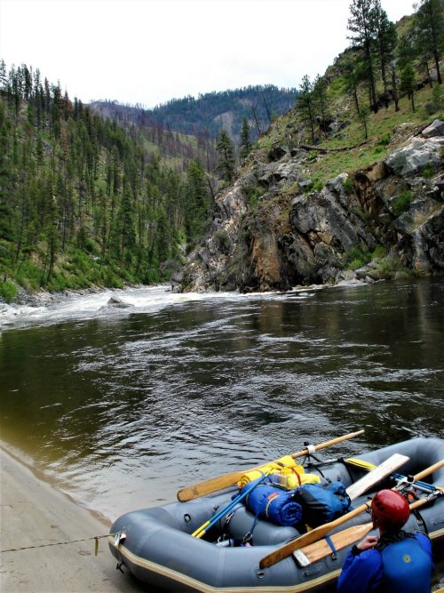
Take Out rapid is located at the terminus of this river section, marking the end of the 11.3-mile run and requiring careful navigation through potential debris and shallow water. Paddlers should be prepared for a potentially technical exit point with potential rock gardens and potential need for precise boat positioning to safely reach the takeout point.
Location
Other Rapids on This Run (1)
View Full Run
Hwy 7 to Deberrie low-water bridge (11.3 miles)
South Fourche LaFave
II+(III)
11.5 mi
Current Conditions
5-Day Forecast
Whitewater data from
American Whitewater
American Whitewater