Take-out
NC
Take Out: Hwy.80 N
Save this feature with the run it belongs to.
Gauge Conditions
Data from American Whitewater & USGS
Photo
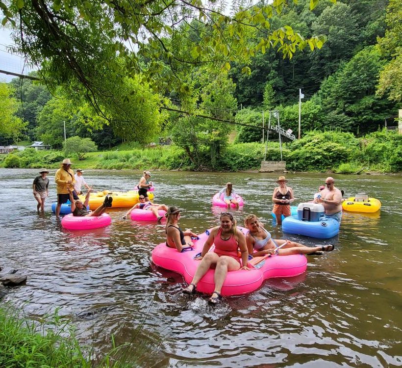
Photo courtesy of American Whitewater
Description
Take Out rapid presents a complex navigation challenge with multiple mid-stream boulder clusters creating unpredictable hydraulics and requiring precise boat placement. Paddlers should be prepared for potential hidden underwater obstructions and focus on maintaining a clean line through the center-right channel, which offers the most consistent passage during moderate to high water levels.
Location
Interactive river map
Loads as you approach this section.
Other Rapids on This Run (3)

View Full Run
3. Carolina Hemlocks Camp to Route 1152 to NC 80 to Route 1131
Toe, South
I-II
16.0 mi
Current Conditions
5-Day Forecast
Whitewater data from
American Whitewater
American Whitewater