Gauge Conditions
Primary
Runnable: 4.0 – 10.0 FT
Data from American Whitewater & USGS
Photo

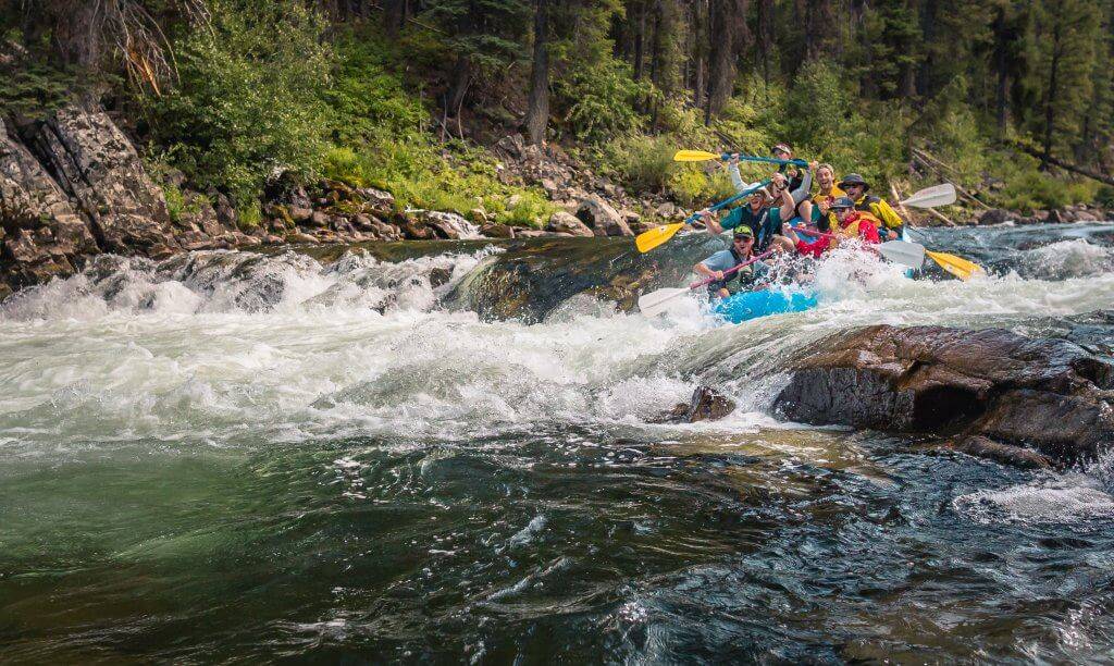
Photo courtesy of American Whitewater
Description
Take Out is a transition rapid marking the end of this short river section, characterized by a broad, shallow gravel bar that requires careful boat placement and precise navigation. Paddlers should be prepared for potential shallow water obstacles and execute a clean exit to the takeout point, paying close attention to water levels and potential strainers near the river's edge.
Location
Other Rapids on This Run (1)
View Full Run
Iron Springs to Buffalo Gap Road (1 mile)
Saline, Middle Fork
II(III)
1.0 mi
Current Conditions
5-Day Forecast
Whitewater data from
American Whitewater
American Whitewater