Take-out
KY
Take Out
Save this feature with the run it belongs to.
Gauge Conditions
Runnable: ? – ? CFS
Approximate - nearest available gauge. Use as general reference only.
Data from American Whitewater & USGS
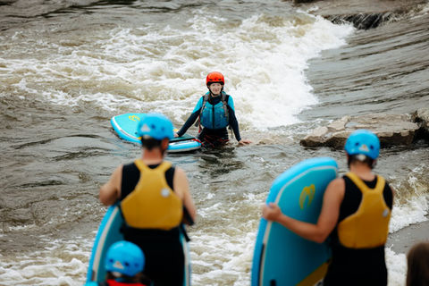
Photo
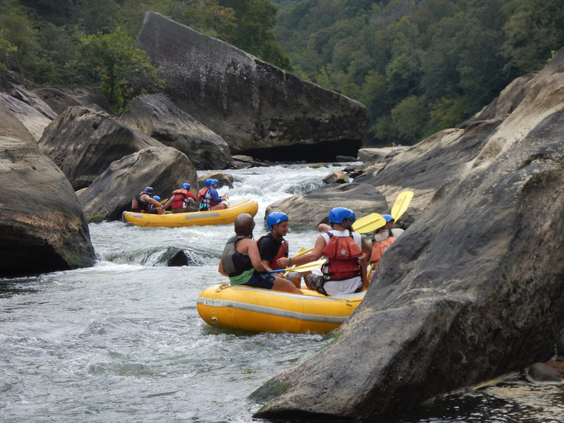
Photo courtesy of American Whitewater
Description
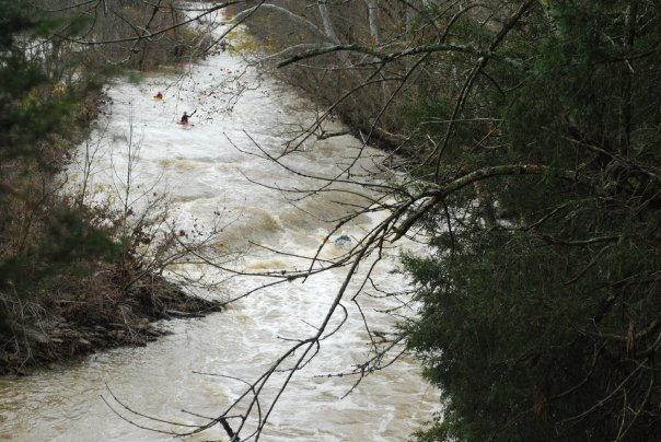
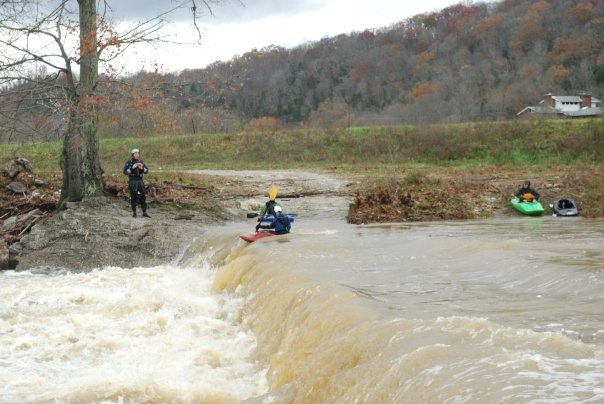
Take Out rapid marks the final challenging section before the Cedar Creek confluence, characterized by a tight channel with potential pin hazards near the river right bank. Paddlers should carefully navigate the narrow passage, watching for submerged rocks and potential debris, and maintain precise boat control to avoid potential entrapment zones near the creek's terminus.
Location
Other Rapids on This Run (5)

View Full Run
KY 607 to Ky River confluence (3 miles)
Cedar Creek
II-III(IV)
3.1 mi
Current Conditions
5-Day Forecast
Whitewater data from
American Whitewater
American Whitewater