Gauge Conditions
Runnable: ? – ? CFS
Approximate - nearest available gauge. Use as general reference only.
Data from American Whitewater & USGS
Photo
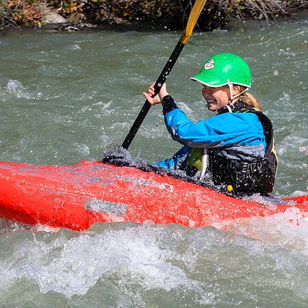
Photo courtesy of American Whitewater
Description
Take Out rapid marks the end of the Leonia section, featuring a straightforward but potentially shallow approach with scattered boulder gardens that require precise navigation. While not notably challenging, paddlers should be aware of potential shifting rocks and maintain vigilance during lower water levels, particularly when approaching the rapid's exit near the pipeline area.
Location
Other Rapids on This Run (1)

View Full Run
Leonia (at MT border) to pipeline near Bonners Ferry
Kootenai
II
18.6 mi
Current Conditions
5-Day Forecast
Whitewater data from
American Whitewater
American Whitewater