Gauge Conditions
Runnable: ? – ? CFS
Approximate - nearest available gauge. Use as general reference only.
Data from American Whitewater & USGS
Photo
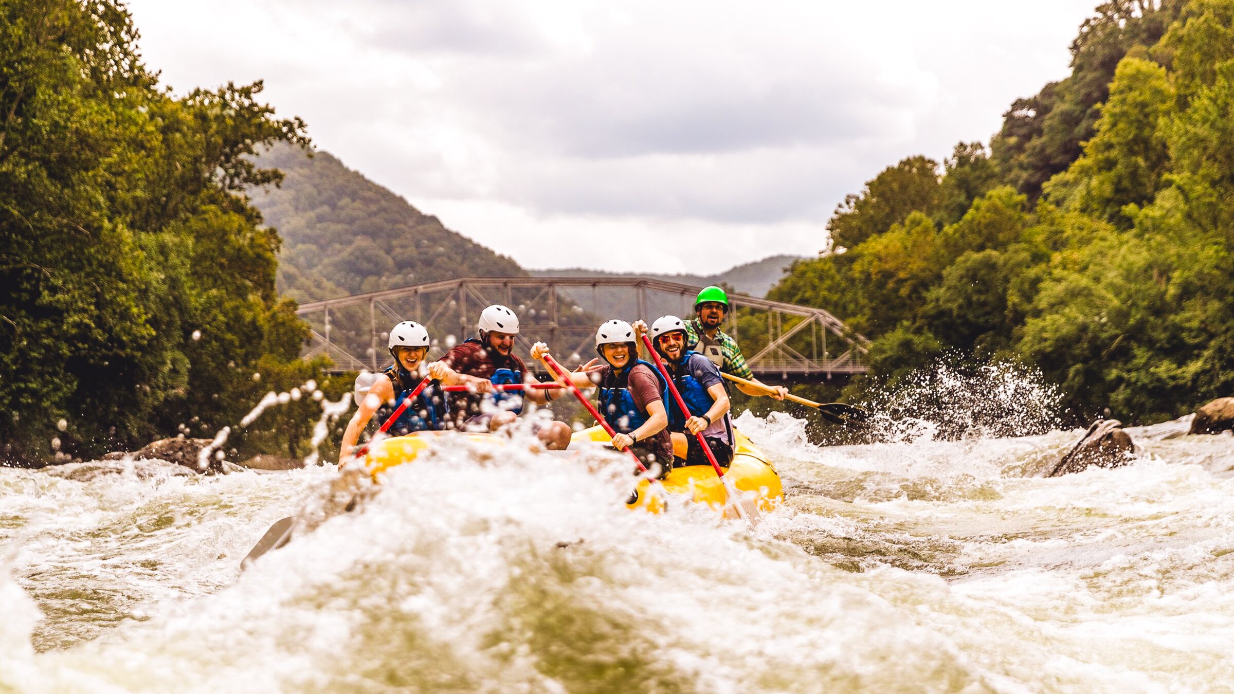
Photo courtesy of American Whitewater
Description
Take Out rapid marks the end of the Rowley Creek run, featuring a potentially tricky exit point with a narrow channel and potential debris accumulation near the Luebke Road bridge. Paddlers should be prepared for potential strainers or partially submerged logs that could create unexpected hazards during the takeout, and carefully scout the exit before committing to the final approach.
Location
Other Rapids on This Run (2)

View Full Run
Luebke Road to CTH.W (2.2 miles)
Rowley Creek
I-II
2.9 mi
Current Conditions
5-Day Forecast
Whitewater data from
American Whitewater
American Whitewater