Take-out
WI
Take Out
Save this feature with the run it belongs to.
Gauge Conditions
Runnable: 400.0 – 750.0 CFS
Likely well under 150 cfs . . . likely too little for decent whitewater.
Data from American Whitewater & USGS
Photo
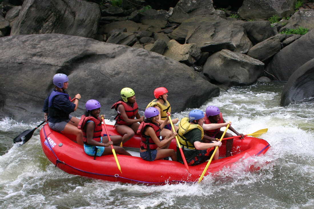
Photo courtesy of American Whitewater
Description
Take Out rapid is located at the end of a challenging 6.5-mile stretch, requiring careful navigation due to potential access restrictions and unclear difficulty rating. Limited information suggests paddlers should exercise extreme caution and thoroughly scout the rapid before attempting, potentially consulting local river guides or experienced paddlers familiar with this section of the Red River's West Branch.
Location
Interactive river map
Loads as you approach this section.

View Full Run
Mohheccanuck Road to Red River (6.5 miles+1 mile+) ** ACCESS ISSUES **
Red, W.Br.
II-III(IV)
5.6 mi
Current Conditions
5-Day Forecast
Whitewater data from
American Whitewater
American Whitewater