Gauge Conditions
Runnable: ? – ? CFS
Approximate - nearest available gauge. Use as general reference only.
Data from American Whitewater & USGS
Photo

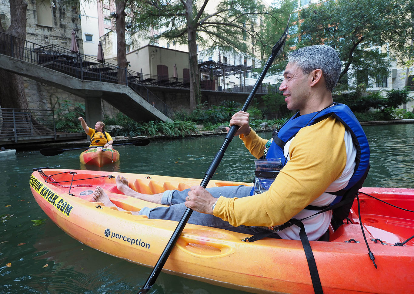
Photo courtesy of American Whitewater
Description
Take Out rapid is located at the terminus of the San Antonio Creek whitewater run, marking the end of the paddling section before the San Antonio Dam. While specific details about the rapid's features are limited, paddlers should be prepared for potential hazards near the dam and be aware of their takeout point to avoid unintended downstream travel.
Location
Other Rapids on This Run (1)
View Full Run
Mt. Baldy Road to San Antonio Dam
San Antonio Creek
IV
1.2 mi
Current Conditions
5-Day Forecast
Whitewater data from
American Whitewater
American Whitewater