Gauge Conditions
Data from American Whitewater & USGS
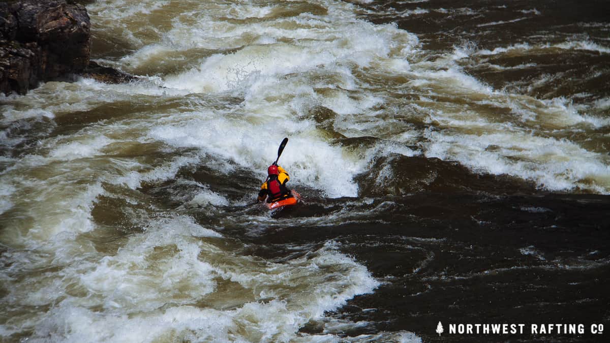
Photo
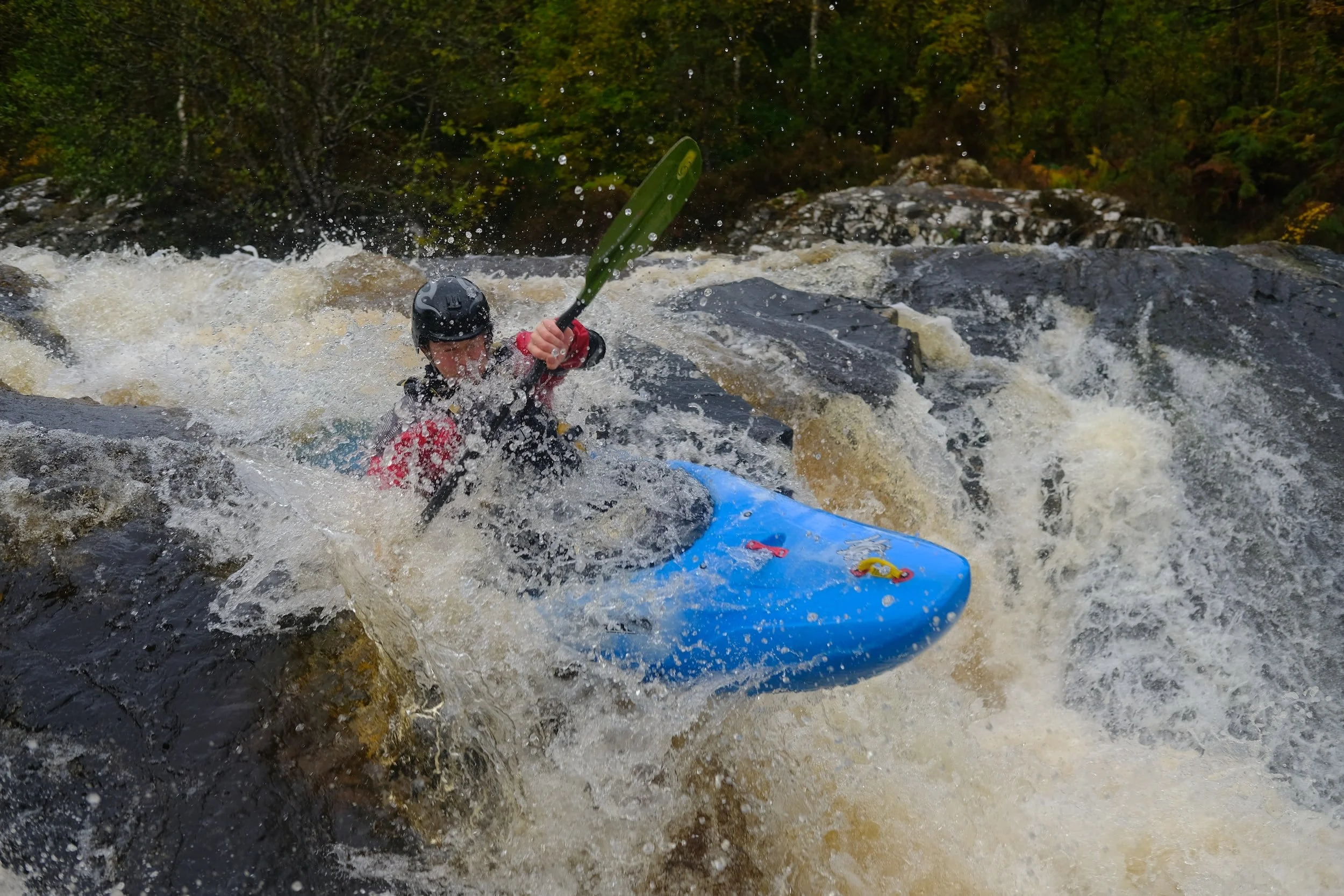
Photo courtesy of American Whitewater
Description
Take Out marks the conclusion of the Blaylock Creek run, transitioning paddlers from the creek to the Little Missouri River. While specific details are limited, the rapid likely requires careful navigation through potential rock gardens or constricted channel features as boaters prepare to exit the creek section. Paddlers should be prepared for potential route-finding challenges and maintain situational awareness during this transition point.
Location
Other Rapids on This Run (1)
View Full Run
Nfr 106 to Little Missouri River (8 + 5.7 miles)
Blaylock Creek
III+
13.7 mi
Current Conditions
5-Day Forecast
Whitewater data from
American Whitewater
American Whitewater