Take-out
WI
Take Out
Save this feature with the run it belongs to.
Gauge Conditions
Runnable: ? – ? CFS
Approximate - nearest available gauge. Use as general reference only.
Data from American Whitewater & USGS
Photo
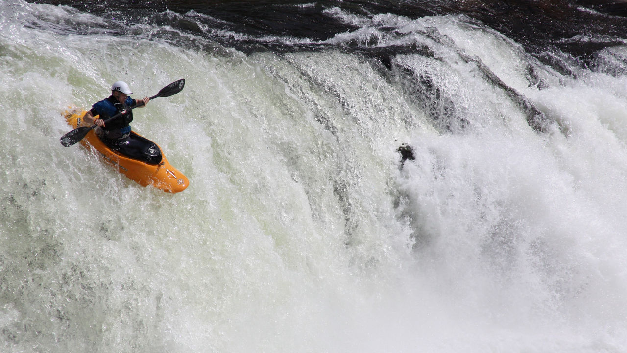
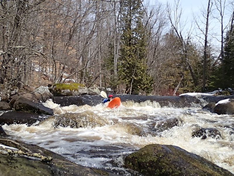
Photo courtesy of American Whitewater
Description
Take Out marks the termination point of this challenging river section, characterized by potential access complications that require careful planning and local knowledge. Paddlers should be prepared for potential logistical challenges related to entry and exit points, and should thoroughly scout the area before attempting to run this rapid.
Location
Interactive river map
Loads as you approach this section.
View Full Run
Partridge Lane to Harper Rd (3.3 miles) *Access Issues*
Rat
II-III(IV)
3.4 mi
Current Conditions
5-Day Forecast
Whitewater data from
American Whitewater
American Whitewater