Take-out
MA
Take Out
Save this feature with the run it belongs to.
Gauge Conditions
Runnable: 150.0 – 1,500.0 CFS
Start driving with it's 150'ish and rising
Data from American Whitewater & USGS
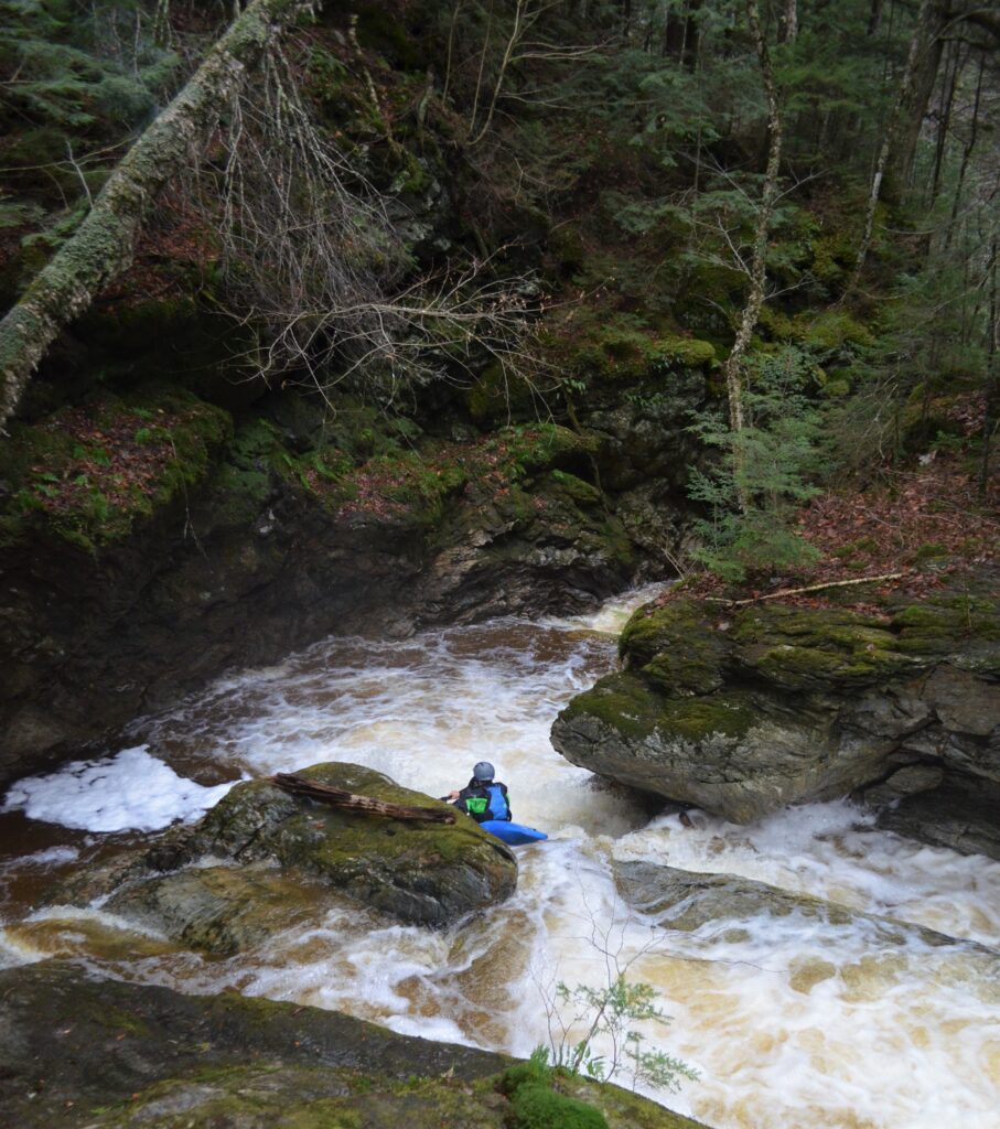
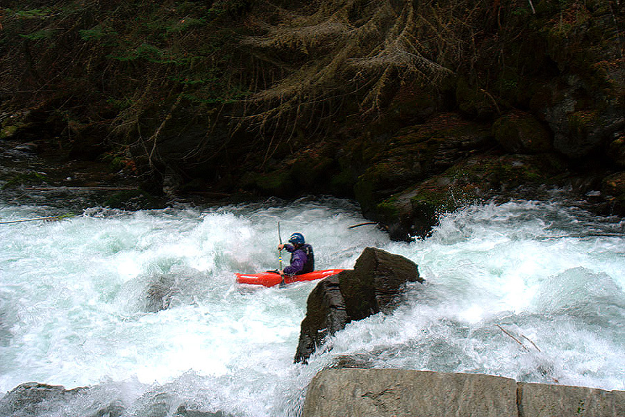
Photo
Photo courtesy of American Whitewater
Description
Take Out rapid is located at the conclusion of the Locke Brook run, marking the end of the river section with potential shallow or technical exit conditions. Paddlers should be prepared for potential obstacles near the takeout point and carefully scout the area for safe egress, especially during low water levels or varied seasonal conditions.
Location
Interactive river map
Loads as you approach this section.


View Full Run
Pine Campground to Davis Road
Locke Brook
IV
1.1 mi
Current Conditions
5-Day Forecast
Whitewater data from
American Whitewater
American Whitewater