Take-out
CA
Take Out
Save this feature with the run it belongs to.
Gauge Conditions
Runnable: ? – ? CFS
Approximate - nearest available gauge. Use as general reference only.
Data from American Whitewater & USGS
Photo

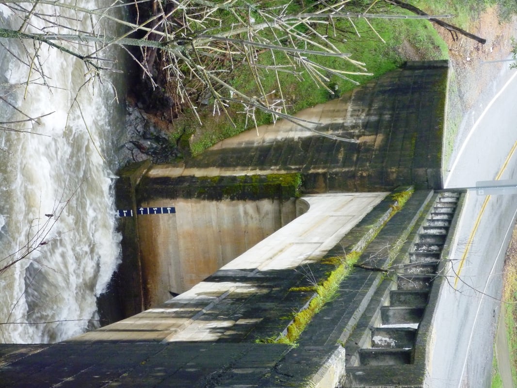
Photo courtesy of American Whitewater
Description
Take Out rapid marks the terminus of this Weber Creek run, signaling the transition to the SF American River confluence. While specific details are limited, paddlers should anticipate potential navigational challenges as the river transitions between watersheds, with potential for variable water conditions and debris at this location.
Location
Interactive river map
Loads as you approach this section.

View Full Run
Placerville to SF American confluence
Weber Creek
IV-V
18.5 mi
Current Conditions
5-Day Forecast
Whitewater data from
American Whitewater
American Whitewater