Take-out
WI
Take Out
Save this feature with the run it belongs to.
Gauge Conditions
Runnable: ? – ? CFS
Approximate - nearest available gauge. Use as general reference only.
Data from American Whitewater & USGS
Photo
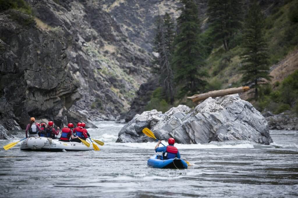
Photo courtesy of American Whitewater
Description
Take Out rapid offers a straightforward passage with minimal technical challenges, primarily serving as the exit point for this river segment. Paddlers should be aware of potential submerged rocks and a slight gradient change near the river right bank. While not particularly demanding, maintaining situational awareness and choosing a clean line is recommended as the rapid transitions into the takeout area.
Location
Interactive river map
Loads as you approach this section.
Other Rapids on This Run (3)
View Full Run
Plover River Road to Kristof Road (2.6 miles)
Plover
I
2.6 mi
Current Conditions
5-Day Forecast
Whitewater data from
American Whitewater
American Whitewater