Gauge Conditions
Data from American Whitewater & USGS
Photo
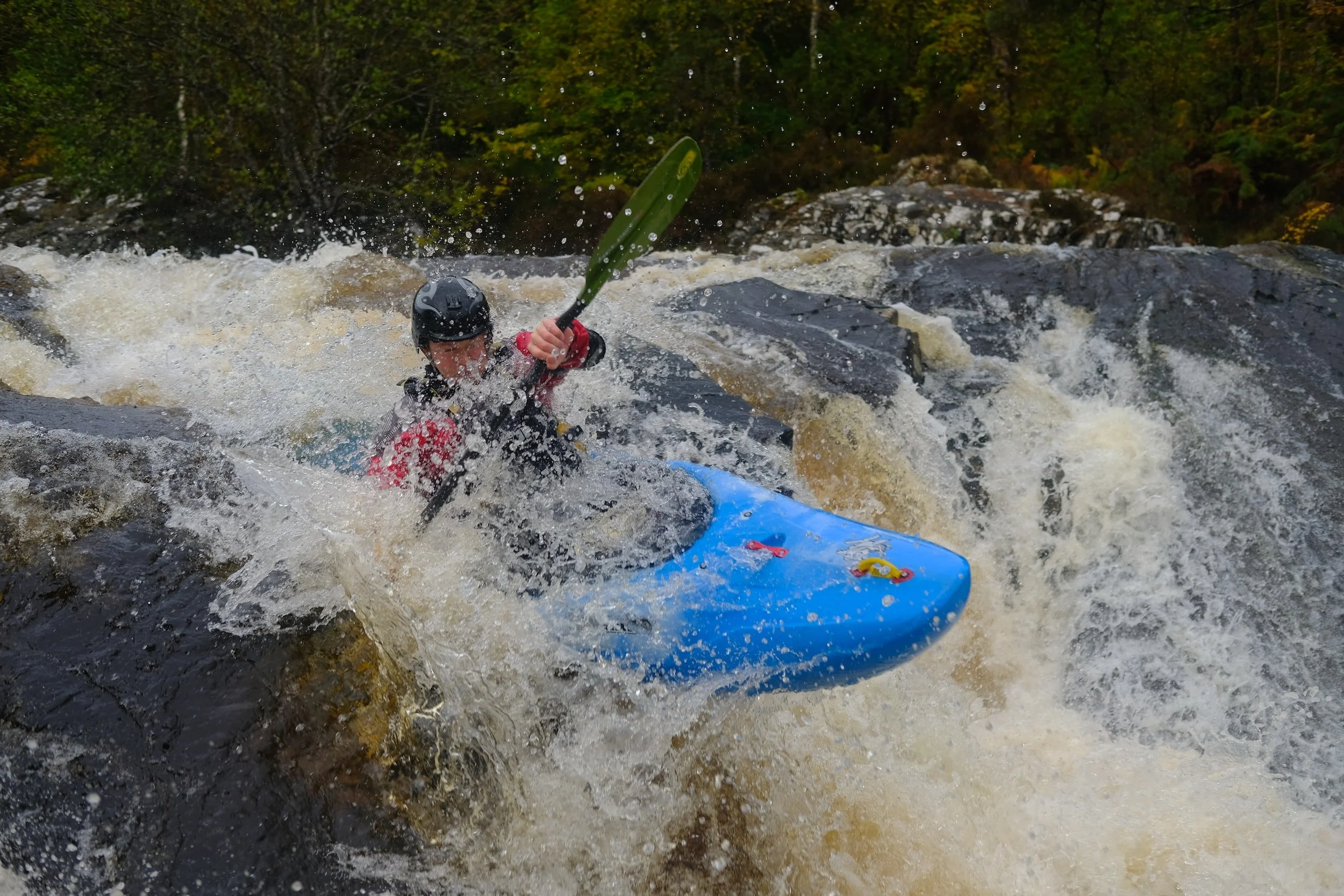
Photo courtesy of American Whitewater
Description
Take Out rapid marks the conclusion of the Brushy Creek run, situated just before the takeout point at Highway 246. While specific details about the rapid's features are limited, paddlers should be prepared for potential end-of-run obstacles and maintain situational awareness as they approach the exit point.
Location
Other Rapids on This Run (1)

View Full Run
Polk County 408 to Cossatot at Hwy 246 (6.2 miles)
Brushy Creek
II+(III)
6.4 mi
Current Conditions
5-Day Forecast
Whitewater data from
American Whitewater
American Whitewater