Gauge Conditions
Runnable: ? – ? CFS
Approximate - nearest available gauge. Use as general reference only.
Data from American Whitewater & USGS
Photo
Photo courtesy of American Whitewater
Description
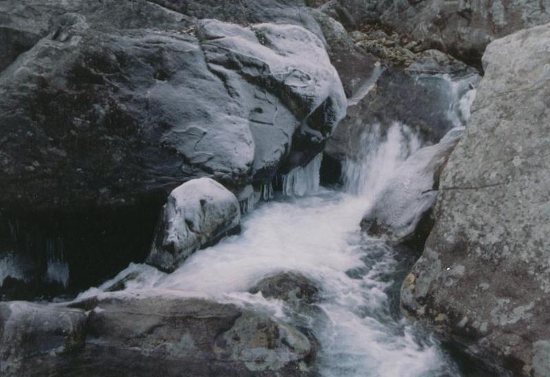
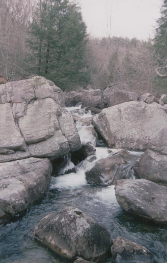
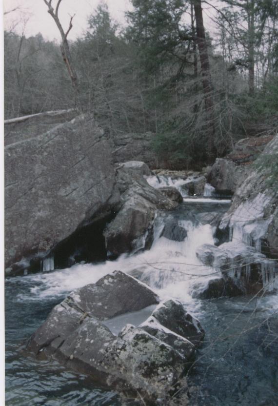
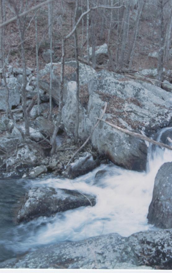
Take Out marks the end of this challenging stretch of Mullens Creek, serving as a critical transition point for paddlers exiting the river at Mullens Cove. While specific details are limited, the rapid likely requires careful navigation through potential obstacles and varying water conditions typical of the Prentice Cooper State Park area.
Location

View Full Run
Prentice Cooper State Park to Mullens Cove
Mullens Creek
IV-V(V+)
8.1 mi
Current Conditions
5-Day Forecast
Whitewater data from
American Whitewater
American Whitewater