Take-out
AL
Take Out
Save this feature with the run it belongs to.
Gauge Conditions
Runnable: ? – ? CFS
Approximate - nearest available gauge. Use as general reference only.
Data from American Whitewater & USGS
Photo
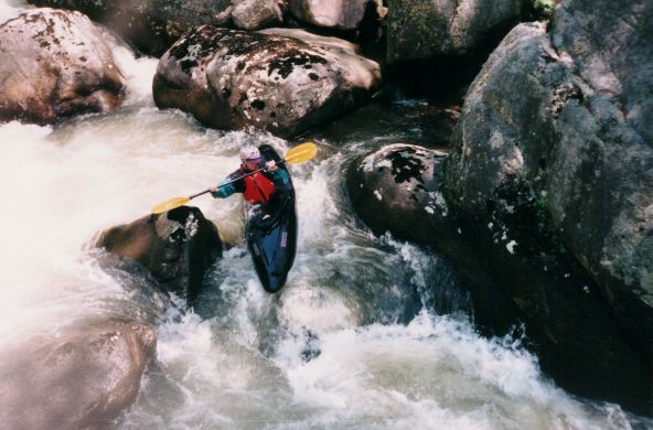
Photo courtesy of American Whitewater
Description
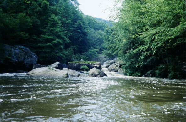
Take Out marks the final stretch before Lake Guntersville, characterized by a broad, relatively calm water transition with potential submerged debris and variable current speed. Paddlers should be prepared for potential wind and boat traffic near the lake interface, maintaining situational awareness during the exit from the river section.
Location
Interactive river map
Loads as you approach this section.
Other Rapids on This Run (1)
View Full Run
Rt. 117 to Lake Guntersville
Flat Rock / Coon Creek
V
10.8 mi
Current Conditions
5-Day Forecast
Whitewater data from
American Whitewater
American Whitewater