Take-out
AK
Take Out
Save this feature with the run it belongs to.
No sufficiently local live gauge linked. 1 automated match was excluded because the closest is 43.6 miles away. Use the parent run and local sources before making a trip decision.
Photo
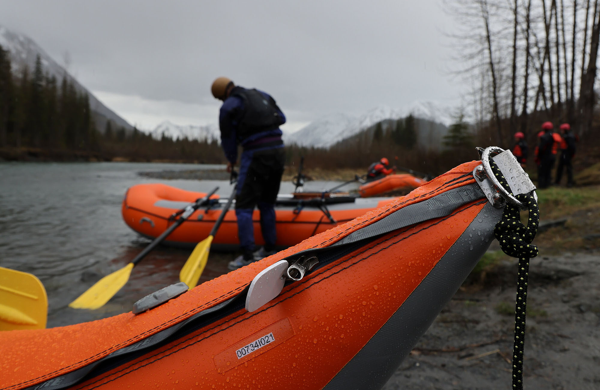
Photo courtesy of American Whitewater
Description
Take Out rapid on the White River presents minimal known details, with limited beta available for paddlers. The rapid's characteristics and specific challenges are not well-documented, suggesting potential for uncharted navigation through this section between Solo Creek airstrip and the Alaska Highway Bridge in Yukon Territory.
Location
Interactive river map
Loads as you approach this section.
Other Rapids on This Run (1)
View Full Run
Solo Creek airstrip to Alaska Highway Bridge (Yukon Terr.)
White
II
55.0 mi
Current Conditions
5-Day Forecast
Whitewater data from
American Whitewater
American Whitewater