Gauge Conditions
Runnable: ? – ? CFS
Approximate - nearest available gauge. Use as general reference only.
Data from American Whitewater & USGS
Photo
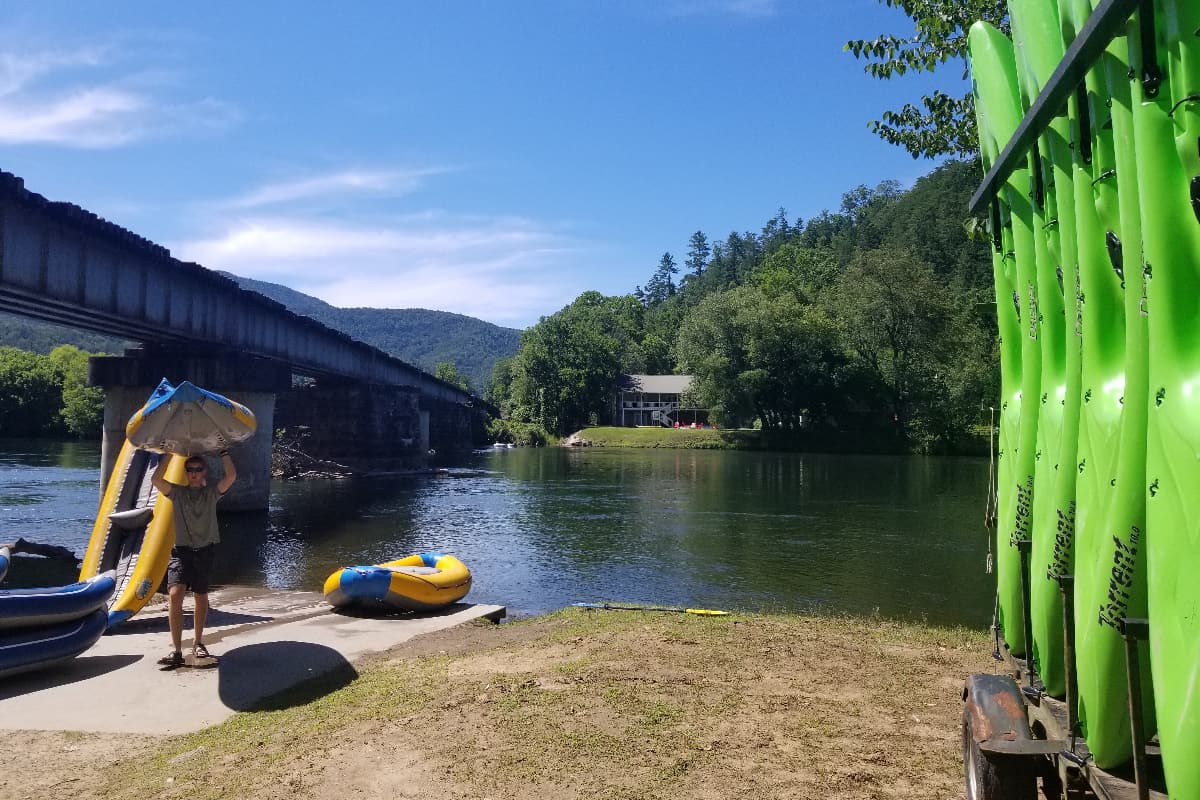
Photo courtesy of American Whitewater
Description
Take Out rapid marks the terminus of the Stinging Fork Falls run, featuring a complex boulder garden with multiple channels and potential pinning hazards. Navigating this section requires precise boat placement and the ability to read water quickly, as submerged rocks and unpredictable hydraulics demand constant attention and technical paddling skills.
Location
Other Rapids on This Run (3)
View Full Run
Stinging Fork Falls to Piney River
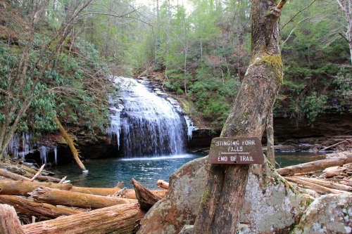
Stinging Fork
IV(V)
5.4 mi
Current Conditions
5-Day Forecast
Whitewater data from
American Whitewater
American Whitewater