Gauge Conditions
Runnable: 2,000.0 – 8,000.0 CFS
Based on Jeff Sharpe's beta. The upper limit is a Wild-Assed Guess.
Data from American Whitewater & USGS
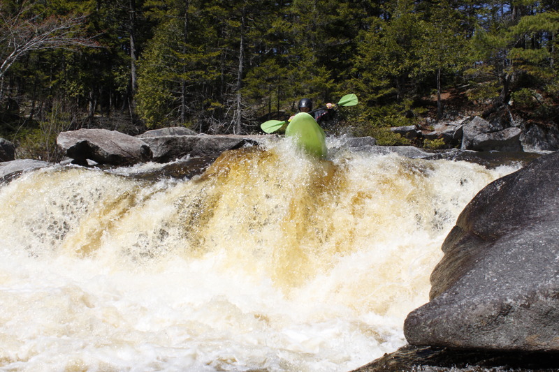
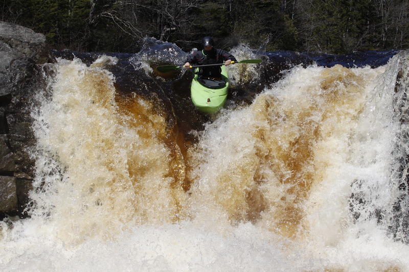
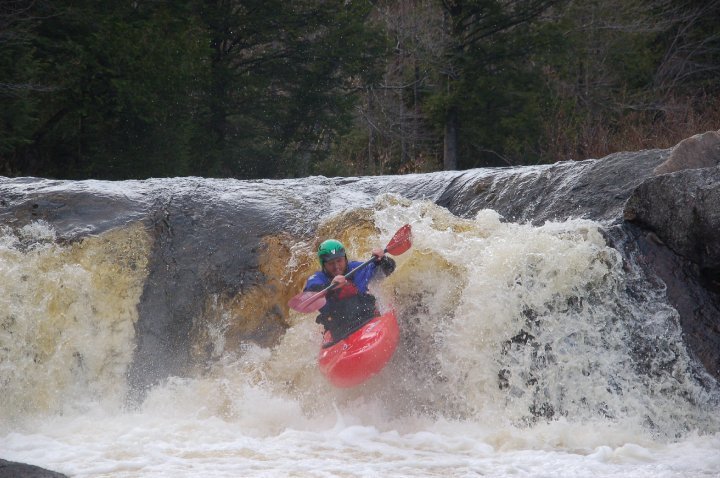
Photo
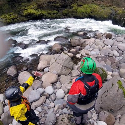
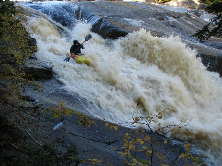
Photo courtesy of American Whitewater
Description
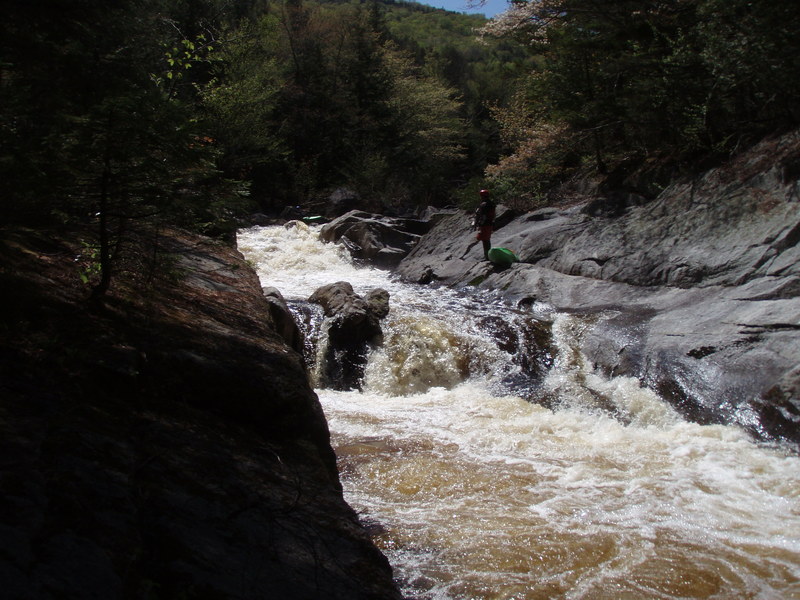
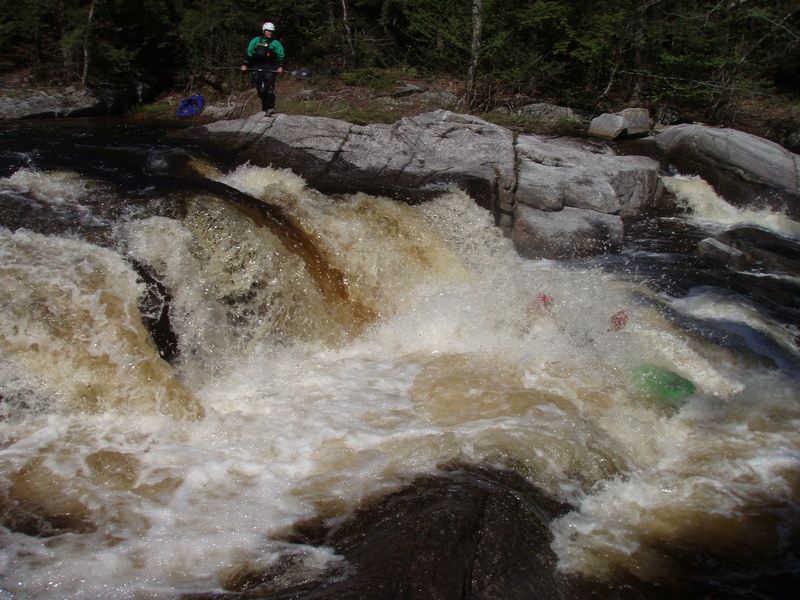
Take Out rapid on Sandy Stream presents a challenging transition zone with potential for complex navigation due to boulder clusters and potential submerged obstacles. Paddlers should carefully scout the rapid's exit point, paying close attention to potential pin hazards and flow-dependent routes through the scattered rock formations.
Location


View Full Run
Stony Brook to Michael Stream (Lexington Township)
Sandy Stream
IV-V
3.1 mi
Current Conditions
5-Day Forecast
Whitewater data from
American Whitewater
American Whitewater