Take-out
AK
Take Out
Save this feature with the run it belongs to.
No sufficiently local live gauge linked. 1 automated match was excluded because the closest is 206.7 miles away. Use the parent run and local sources before making a trip decision.
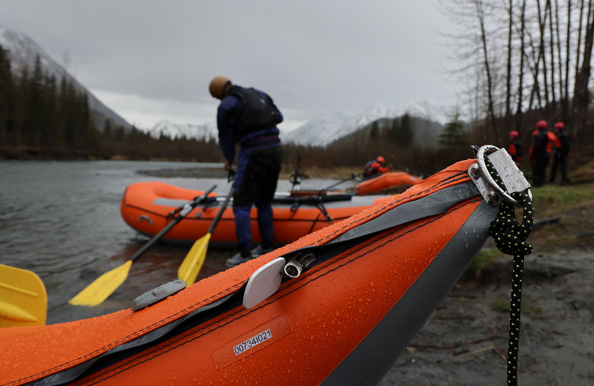
Photo

Photo courtesy of American Whitewater
Description
Take Out rapid on the Colville River marks the end of the Thunder Creek to Harrison Bay run, located in the remote Alaska wilderness. Limited information is available about specific technical features due to the river's isolated nature, suggesting paddlers should approach with caution and be prepared for potentially challenging conditions typical of Arctic river environments.
Location
Other Rapids on This Run (1)
View Full Run
Thunder Creek to Harrison Bay
Colville
I-II
375.0 mi
Current Conditions
5-Day Forecast
Whitewater data from
American Whitewater
American Whitewater