Take-out
TN
Take Out
Save this feature with the run it belongs to.
Gauge Conditions
Runnable: ? – ? CFS
Approximate - nearest available gauge. Use as general reference only.
Data from American Whitewater & USGS
Photo
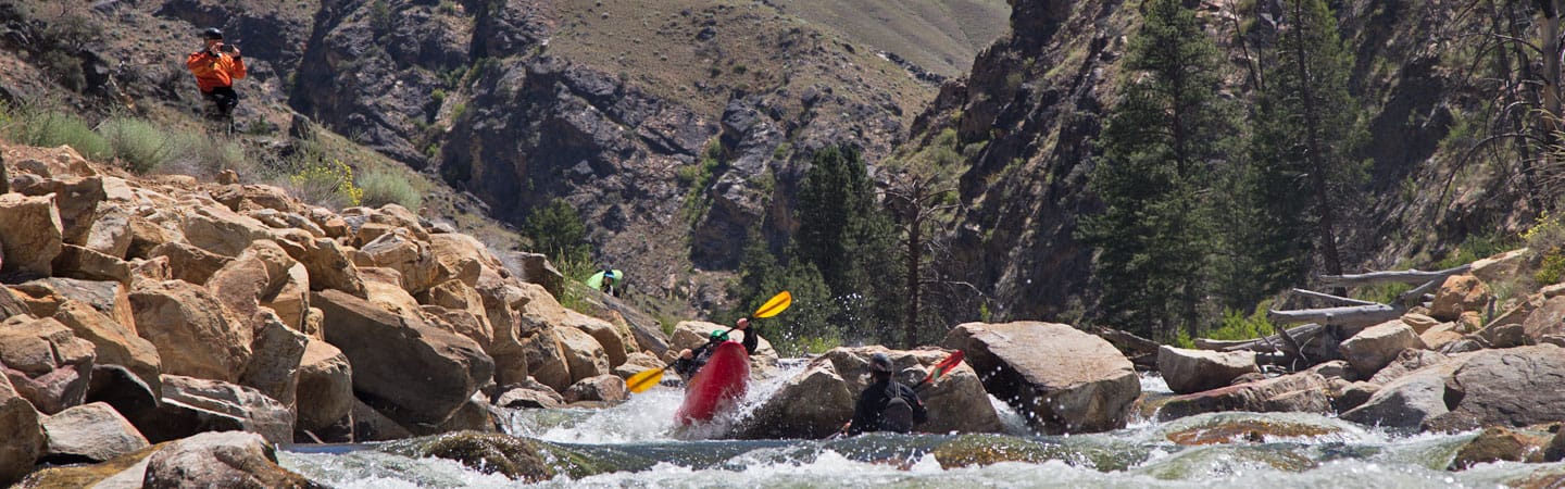
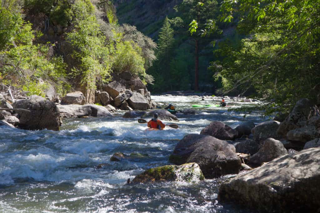
Photo courtesy of American Whitewater
Description
Take Out marks the terminus of the Panther Creek run, where paddlers transition from the creek to Abrams Creek near Highway 129. The rapid itself appears to be an unmarked or minimally documented section, with no specific classification of difficulty noted, suggesting paddlers should scout carefully and assess conditions individually. Local knowledge and current river conditions will be critical for safe navigation at this transition point.
Location
Interactive river map
Loads as you approach this section.
Other Rapids on This Run (4)

View Full Run
to Abrams Creek at Hwy 129
Panther Creek
II-IV(V)
1.7 mi
Current Conditions
5-Day Forecast
Whitewater data from
American Whitewater
American Whitewater