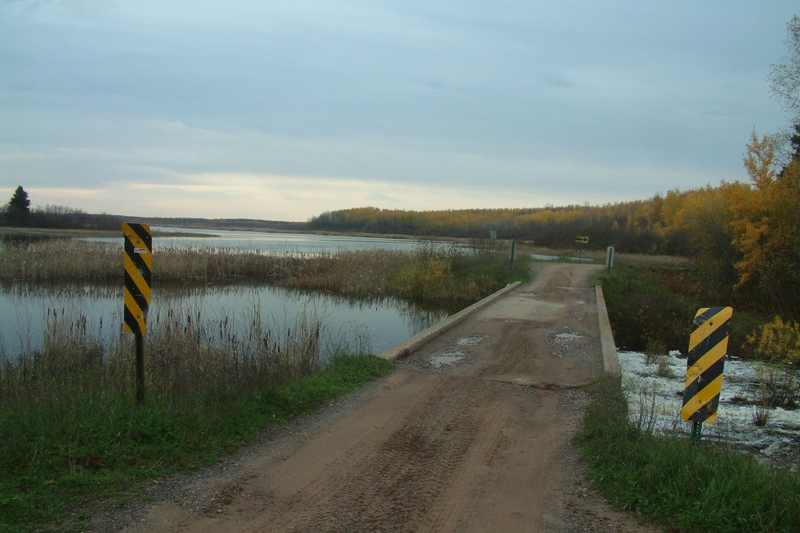
Take-out
WI
Take Out
Save this feature with the run it belongs to.
Gauge Conditions
Runnable: ? – ? CFS
Approximate - nearest available gauge. Use as general reference only.
Data from American Whitewater & USGS
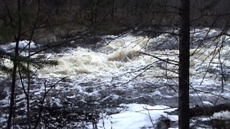
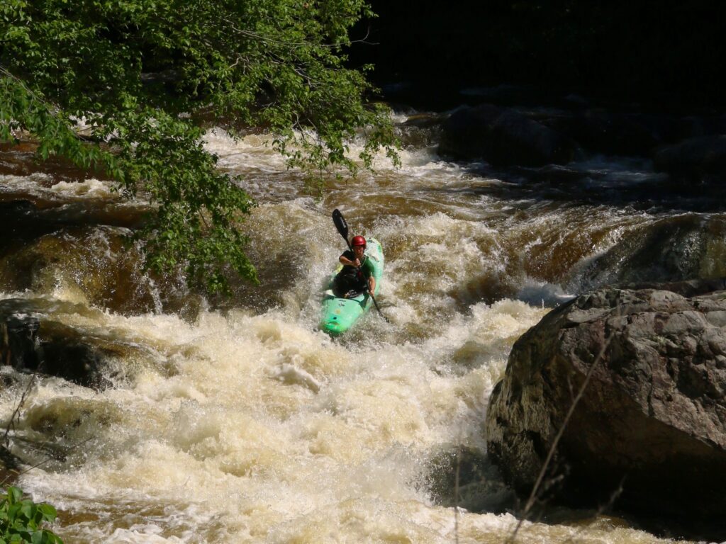
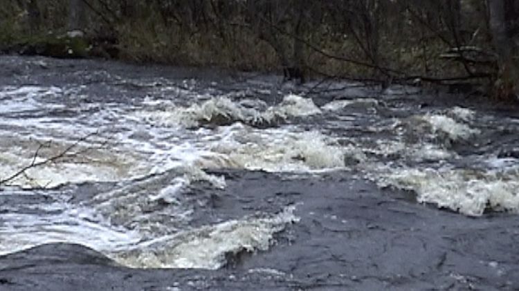
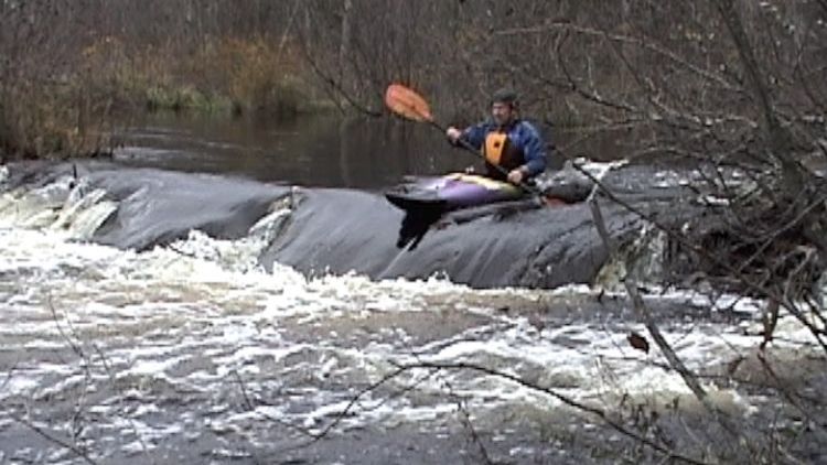
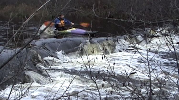
Photo
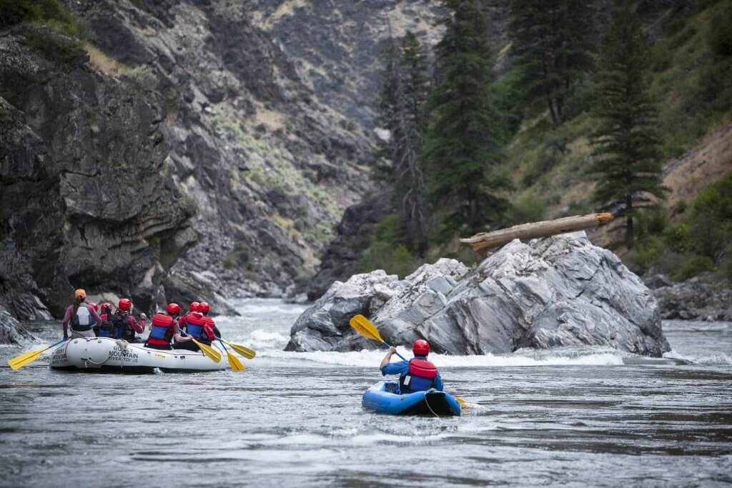
Photo courtesy of American Whitewater
Description
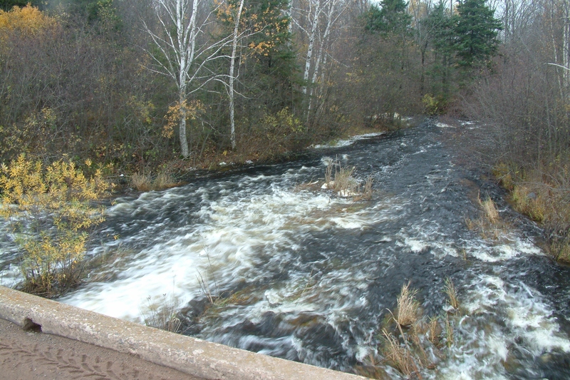
Take Out marks the final stretch of the Totogatic River section, characterized by a flat water approach transitioning into minimal technical features. Paddlers should be prepared for a straightforward water route with limited rapids or significant obstacles, making it primarily a transit point between the Totogatic and Colton Flowages. While the rapid itself does not present major challenges, standard river navigation awareness and flow conditions should be assessed before launching.
Location
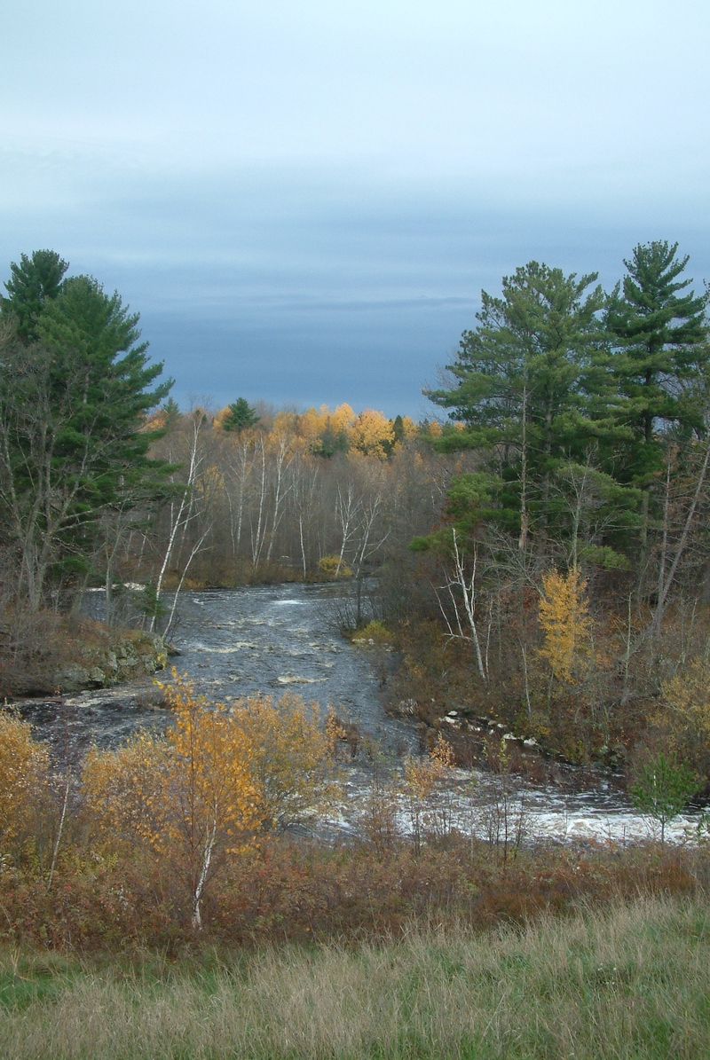
Interactive river map
Loads as you approach this section.
Other Rapids on This Run (16)
Rapid
N/A
NOTICE!
 Rapid
N/A
Rapid
N/A
Duck Dam Put-in (Drainage 64 square miles)
 Rapid
N/A
Rapid
N/A
Put-in
 Rapid
N/A
Rapid
N/A
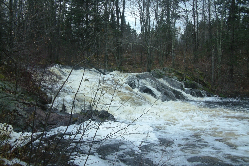
High Falls
 Rapid
N/A
Rapid
N/A
Rapids
 Rapid
N/A
Rapid
N/A
Williamson Creek
Rapid
N/A
Cole Creek
Rapid
N/A
Island
 Rapid
N/A
Rapid
N/A
random smaller unmarked rapids
 Rapid
N/A
Rapid
N/A
Rapids
Rapid
N/A
small island
 Rapid
N/A
Rapid
N/A
Beaver Dams
Rapid
N/A
Zig-Zag
Rapid
N/A
Last hurrah?
 Rapid
N/A
Rapid
N/A
Colton Falls?
 Rapid
N/A
Rapid
N/A
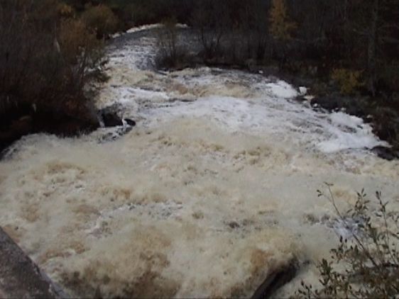
The View Downstream of Take-out
View Full Run
Totogatic Flowage to Colton Flowage (8.9 miles)
Totogatic
II-III
9.4 mi
Current Conditions
5-Day Forecast
Whitewater data from
American Whitewater
American Whitewater