Take-out
MN
Take Out
Save this feature with the run it belongs to.
Gauge Conditions
Runnable: ? – ? CFS
Approximate - nearest available gauge. Use as general reference only.
Data from American Whitewater & USGS
Photo
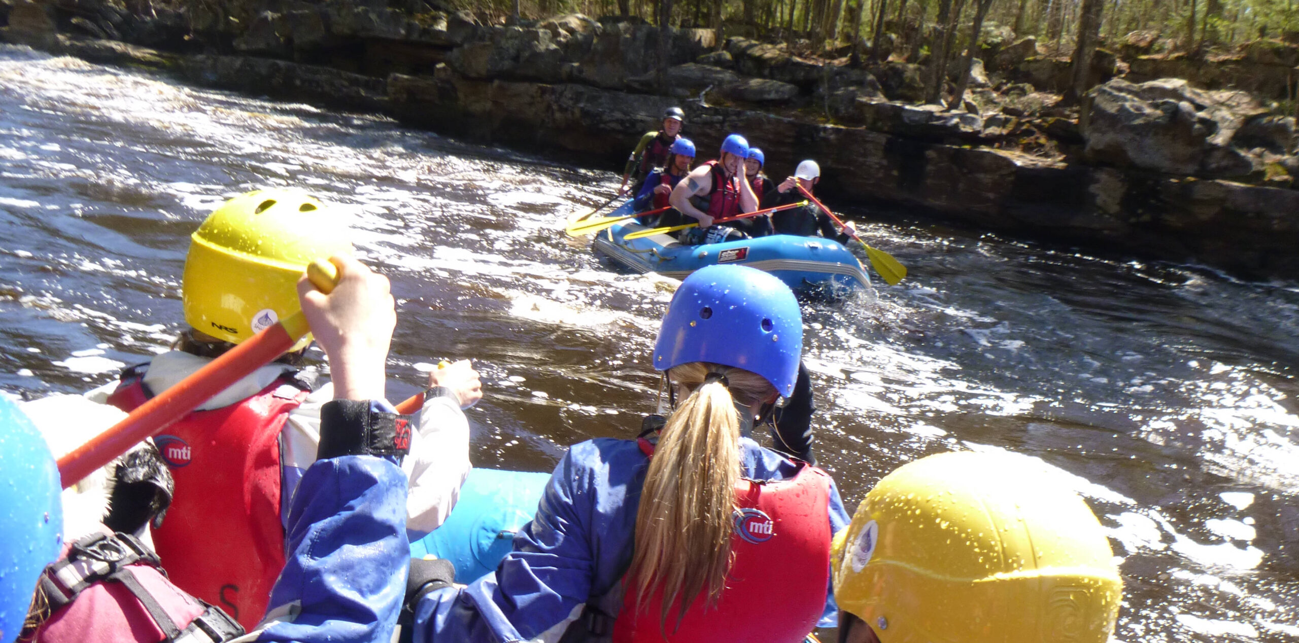
Photo courtesy of American Whitewater
Description
Take Out rapid marks the end of the Gooseberry River run, featuring a complex exit point with potential for strainers and debris accumulation near the takeout zone. Paddlers should carefully scout the final approach, paying close attention to water levels and potential obstructions that could complicate boat extraction and riverbank access.
Location
Interactive river map
Loads as you approach this section.
View Full Run
Twnp25 to CR3 (5.9 miles)
Gooseberry
II
5.3 mi
Current Conditions
5-Day Forecast
Whitewater data from
American Whitewater
American Whitewater