Take-out
AK
Take Out
Save this feature with the run it belongs to.
Gauge Conditions
Runnable: 200.0 – 2,000.0 CFS
Flow range for best boatability uncertain. Please help your fellow boaters with a comment or report.
Data from American Whitewater & USGS
Photo
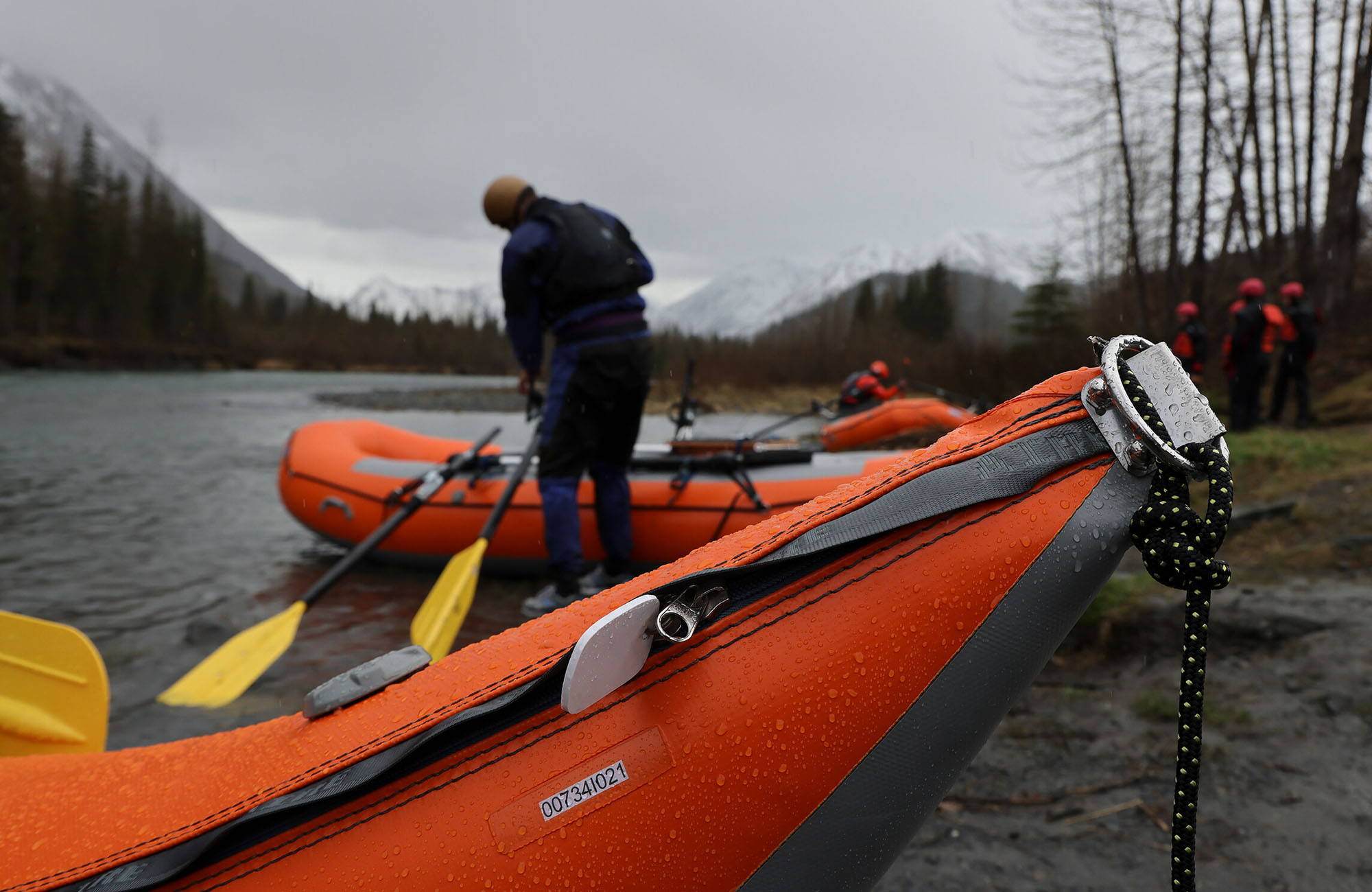
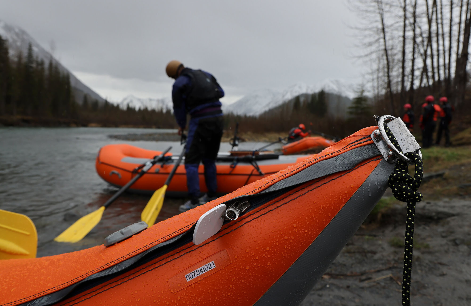
Photo courtesy of American Whitewater
Description
Take Out rapid marks the terminus point of the Wolverine Creek run, characterized by a narrow constriction that funnels river flow between rocky banks. Paddlers should be prepared for potential debris and potential shifting hydraulics near the takeout point, which can create unpredictable currents as the river transitions to the Matanuska River confluence.
Location
Interactive river map
Loads as you approach this section.
Other Rapids on This Run (1)
View Full Run
Upper River to Matanuska River
Wolverine Creek
V
0.3 mi
Current Conditions
5-Day Forecast
Whitewater data from
American Whitewater
American Whitewater