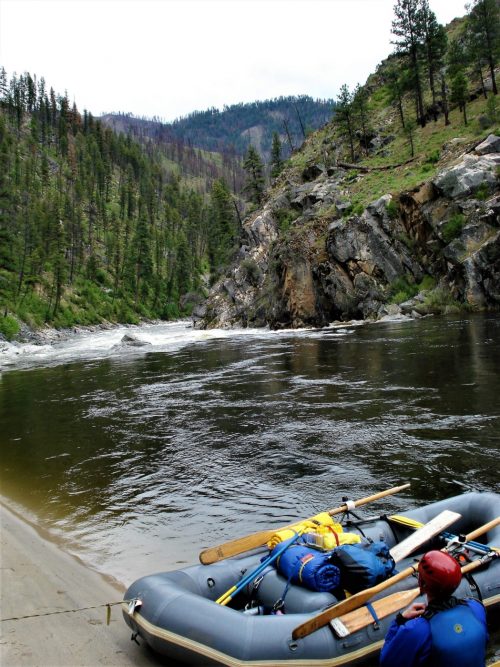
Take-out
WY
Take Out
Save this feature with the run it belongs to.
Gauge Conditions
Runnable: ? – ? CFS
Approximate - nearest available gauge. Use as general reference only.
Data from American Whitewater & USGS
Photo
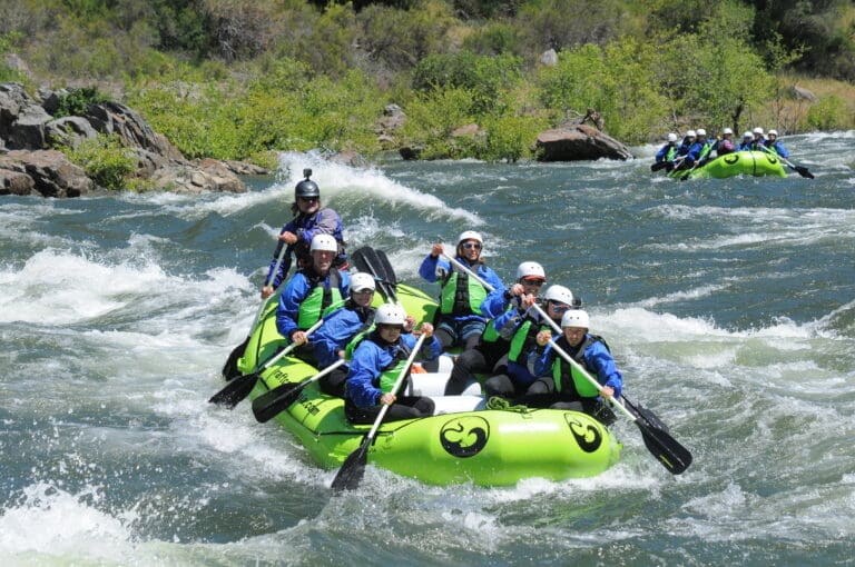
Photo courtesy of American Whitewater
Description
Take Out rapid marks the end of this wilderness river section, signaling the conclusion of a challenging run. While details are sparse, paddlers should be alert for potential hazards near the takeout point, including possible shallow water, submerged rocks, or swift current transitions as the river approaches the Wiggins Fork confluence.
Location
Other Rapids on This Run (1)
View Full Run
Wilderness boundary to Wiggins Fork
Wind, East Fork
I
12.4 mi
Current Conditions
5-Day Forecast
Whitewater data from
American Whitewater
American Whitewater