Take-out
WV
Take Out
Save this feature with the run it belongs to.
Gauge Conditions
Data from American Whitewater & USGS
Photo
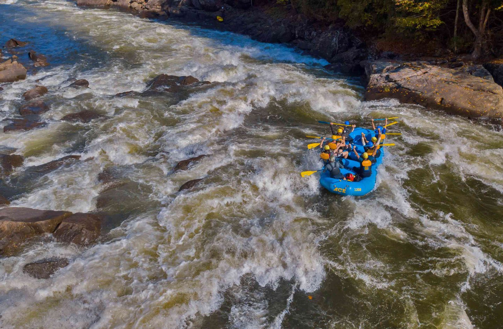
Photo courtesy of American Whitewater
Description
Take Out marks the terminus of this river section, characterized by a boulder-strewn runout that demands precise maneuvering to avoid pinning hazards. Paddlers should be prepared for potential shallow water and scattered rocks, particularly during low flow periods, which can complicate navigation through the final stretch before reaching the WV 55 bridge.
Location
Interactive river map
Loads as you approach this section.
Other Rapids on This Run (1)
View Full Run
Wilson Cove to WV 55 bridge near the confluence of Lost River
Waites Run
II-IV
7.4 mi
Current Conditions
5-Day Forecast
Whitewater data from
American Whitewater
American Whitewater