Take-out
NY
Take Out
Save this feature with the run it belongs to.
Gauge Conditions
Data from American Whitewater & USGS
Photo
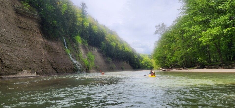
Photo courtesy of American Whitewater
Description
Take Out is a section near the end of the Zoar Valley run where paddlers must carefully navigate out of the gorge and prepare for their exit point. While specific details about this exact rapid are limited, the Cattaraugus Creek's steep gradient and rocky terrain suggest careful route selection and attentive maneuvering are critical in this final stretch of the run.
Location
Interactive river map
Loads as you approach this section.
Other Rapids on This Run (4)

View Full Run
Zoar Bridge to Gowanda (Zoar Valley)
Cattaraugus Creek
II-III
9.5 mi
Current Conditions
5-Day Forecast
Whitewater data from
American Whitewater
American Whitewater