Take-out
IL
Takeout
Save this feature with the run it belongs to.
Gauge Conditions
Runnable: ? – ? CFS
Approximate - nearest available gauge. Use as general reference only.
Data from American Whitewater & USGS
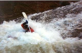
Photo
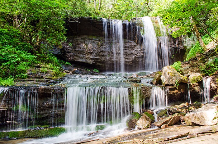
Photo courtesy of American Whitewater
Description
At lower levels walk back upstream along the shore. At higher levels hiking up a hill and through the forest is the only option. It is easiest to hike out on the river right side.
Location
Interactive river map
Loads as you approach this section.
View Full Run
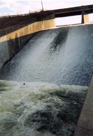
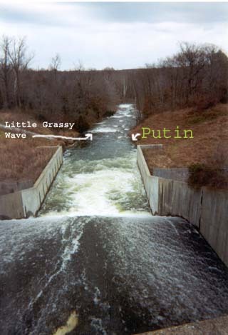
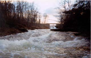
Downstream of dam at Little Grassy Lake (0.2 mile)
Little Grassy Creek
II-III+(IV)
0.1 mi
Current Conditions
5-Day Forecast
Whitewater data from
American Whitewater
American Whitewater