Take-out
NC
Takeout
Save this feature with the run it belongs to.
Gauge Conditions
Runnable: ? – ? CFS
Approximate - nearest available gauge. Use as general reference only.
Data from American Whitewater & USGS
Description
On river left just before the bridge you should be able to spot a clearing that often gets used as a campsite. Follow the trail up & to the road. Can check the levels on the painted columns on the bridge.
Location
Interactive river map
Loads as you approach this section.
Other Rapids on This Run (14)
 Rapid
Rapid
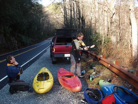
Putin at Hwy 107
Rapid
Short Putin
 Waterfall
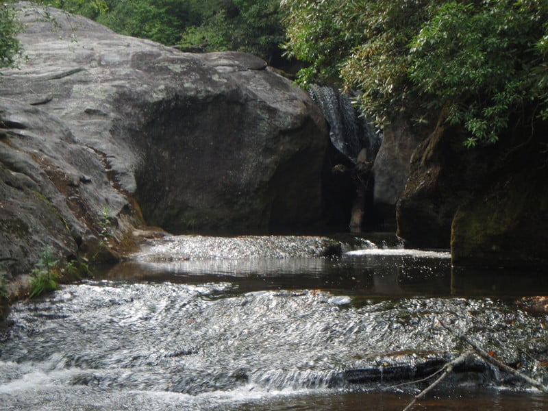
Nasty Falls
 Waterfall
V+
Waterfall
V+
The Mini-Gorge
 Waterfall
V
Waterfall
V
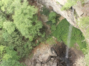
Exit Falls
 Waterfall
IV+
Waterfall
IV+
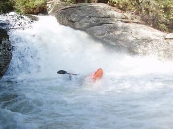
Bedrock Falls
 Waterfall
V
Waterfall
V
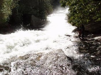
Merge Lane
 Waterfall
V+
Waterfall
V+
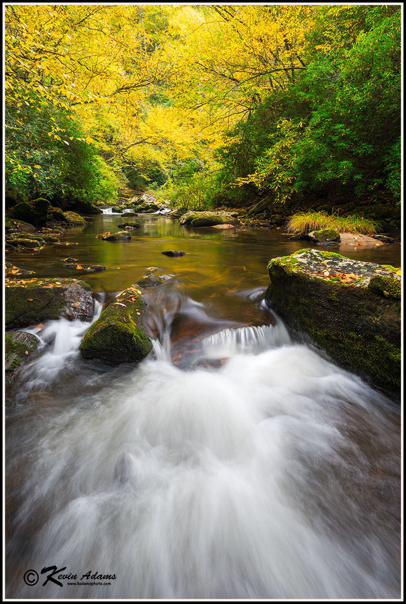
55 MPH Falls
 Waterfall
V+
Waterfall
V+
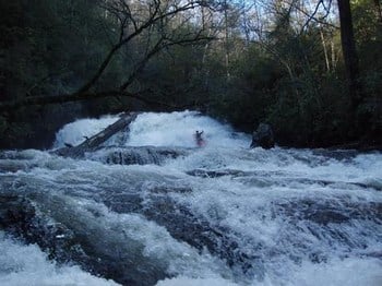
Shallow Boof on 55 MPH Falls
 Waterfall
IV+
Waterfall
IV+
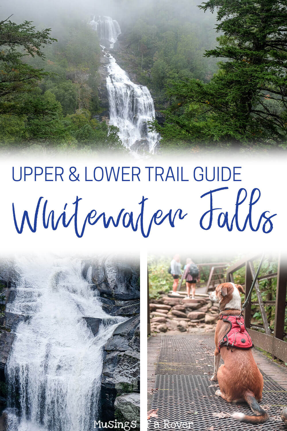
Big Ledge Falls
 Waterfall
IV+
Waterfall
IV+
Wheelchair Accessible Falls
Hazard
V-
Portage Left Falls
 Hazard
III+
Hazard
III+
Low Angle Slide
 Waterfall
IV
Waterfall
IV
Twist and Shout
View Full Run
Hwy 107 to Hwy 281
Whitewater River
IV-V+
3.7 mi
Current Conditions
5-Day Forecast
Whitewater data from
American Whitewater
American Whitewater