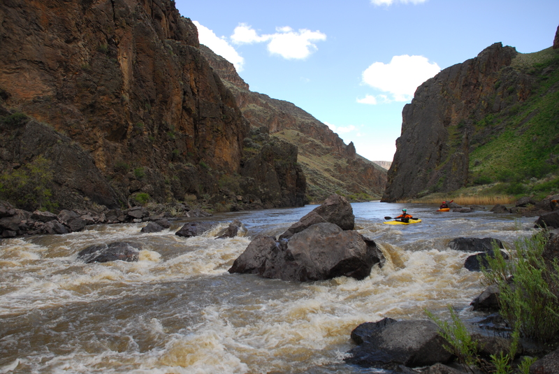
The Ledge
Save this feature with the run it belongs to.
Gauge Conditions
Data from American Whitewater & USGS
Photo
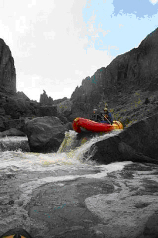
Photo courtesy of American Whitewater
Description
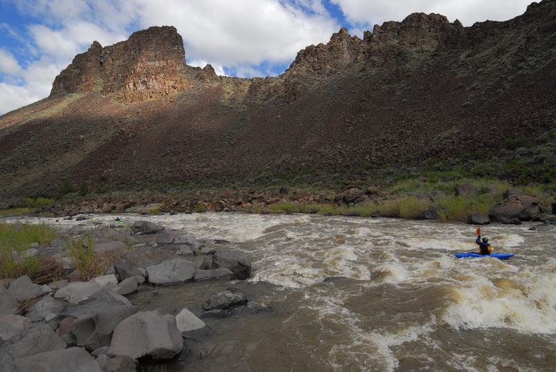
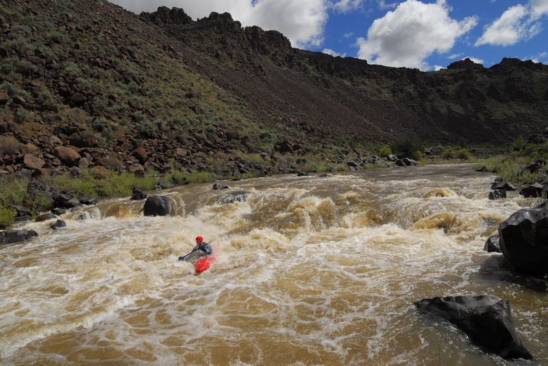
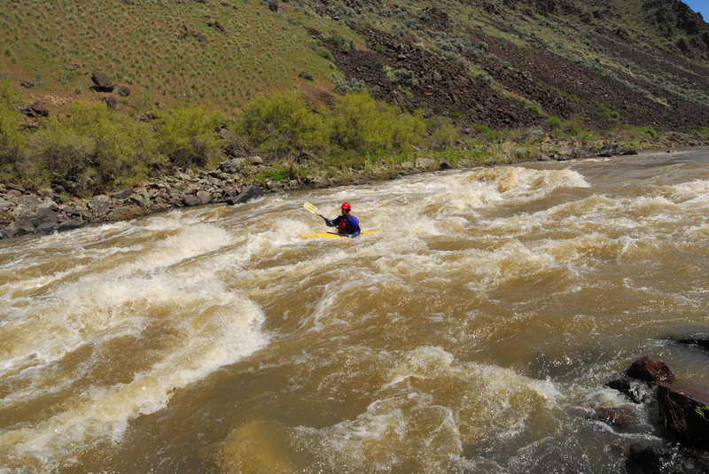
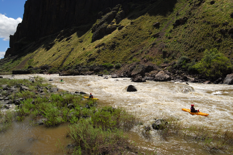
After paddling 1.5 miles of flat water from Three Forks, you'll reach "the ledge." This class IV rapid consists of an entrance drop followed by a long, technical boulder garden. It is easily scouted from river left.
Location
Interactive river map
Loads as you approach this section.
View Full Run
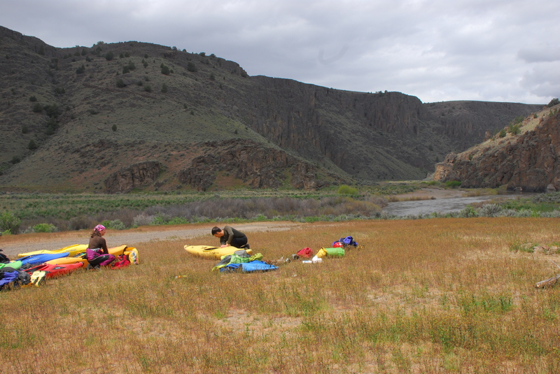
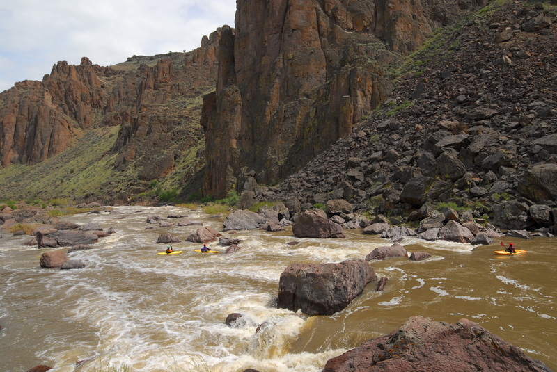
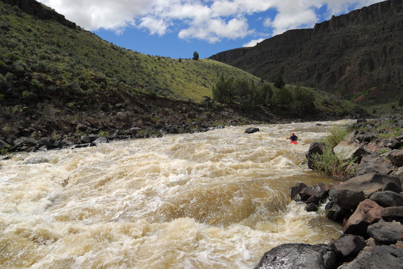
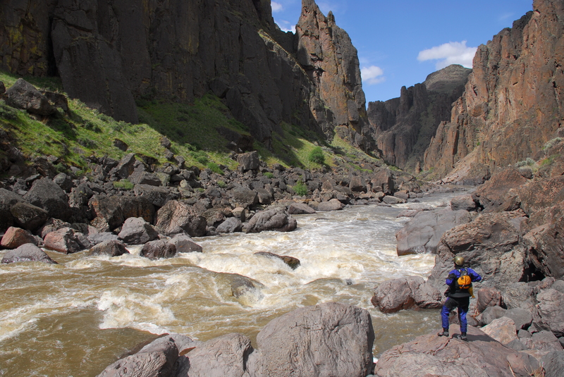
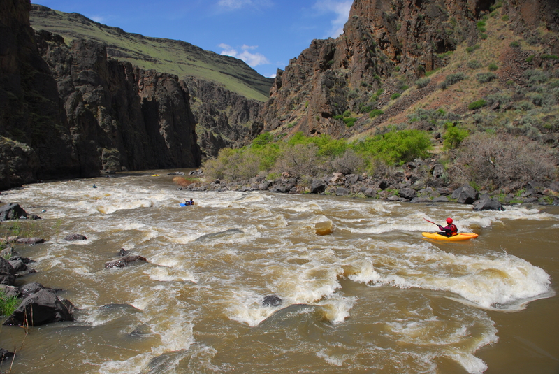
3. Three Forks to Rome
Owyhee
III-IV(V)
37.8 mi
Current Conditions
5-Day Forecast
Whitewater data from
American Whitewater
American Whitewater