Waterfall
SC
The run from below
Save this feature with the run it belongs to.
No sufficiently local live gauge linked. 1 automated match was excluded because locality could not be verified. Use the parent run and local sources before making a trip decision.
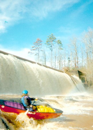
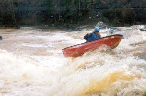
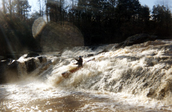
Photo
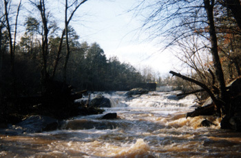
Photo courtesy of American Whitewater
Description
This photograph is an upstream photo of Coneross from an eddy near the bottom of the rapids.
Location
Interactive river map
Loads as you approach this section.
Other Rapids on This Run (3)
View Full Run
SC 59 to Coneross Hydro Plant Park
Coneross Creek
II-III(IV)
0.4 mi
Hazard — Exercise extreme caution in this area.
Current Conditions
5-Day Forecast
Whitewater data from
American Whitewater
American Whitewater