The Runout
Save this feature with the run it belongs to.
Gauge Conditions
Runnable: ? – ? CFS
Approximate - nearest available gauge. Use as general reference only.
Data from American Whitewater & USGS
Photo
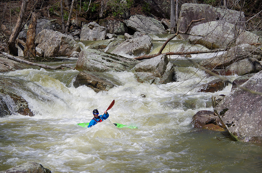
Photo courtesy of American Whitewater
Description
After the last boulder garden, the creek quickly loses steam and transforms to shoals and flat water. Similar to Sauty, it features a brief section of boating through the forest, where logs can present an issue. After the confluence with Miller on the left, you reach the flats, where you'll meander through the bottomlands under a nice canopy of trees. Eventually, a backwater swamp will open up on the left, which is where you'll need to head to reach your car. A GPS is advised here, as the route is fairly confusing and there are several dead ends.
Location
Interactive river map
Loads as you approach this section.
Other Rapids on This Run (12)
View Full Run
SR 73 to CR 676
Lively Creek
III-IV(V+)
6.4 mi
Current Conditions
5-Day Forecast
Whitewater data from
American Whitewater
American Whitewater