The Wall
Save this feature with the run it belongs to.
Gauge Conditions
Data from American Whitewater & USGS
Description
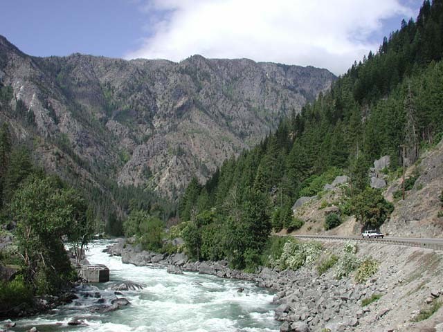
A long rapid that tapers off as you reach the reservoir held back by Tumwater Dam. Visible from Highway 2 mile 94.
Location
Interactive river map
Loads as you approach this section.
View Full Run
2. Tumwater Campground to Leavenworth (Tumwater Canyon)
Wenatchee
V
9.1 mi
Current Conditions
5-Day Forecast
Whitewater data from
American Whitewater
American Whitewater