Rapid
WI
Thompson Bridge Landing
Save this feature with the run it belongs to.
Gauge Conditions
Runnable: 90.0 – 500.0 CFS
Low-boatable. (We need your input! Add a comment or report about flow and class/difficutly.)
Data from American Whitewater & USGS
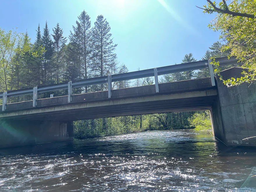
Photo
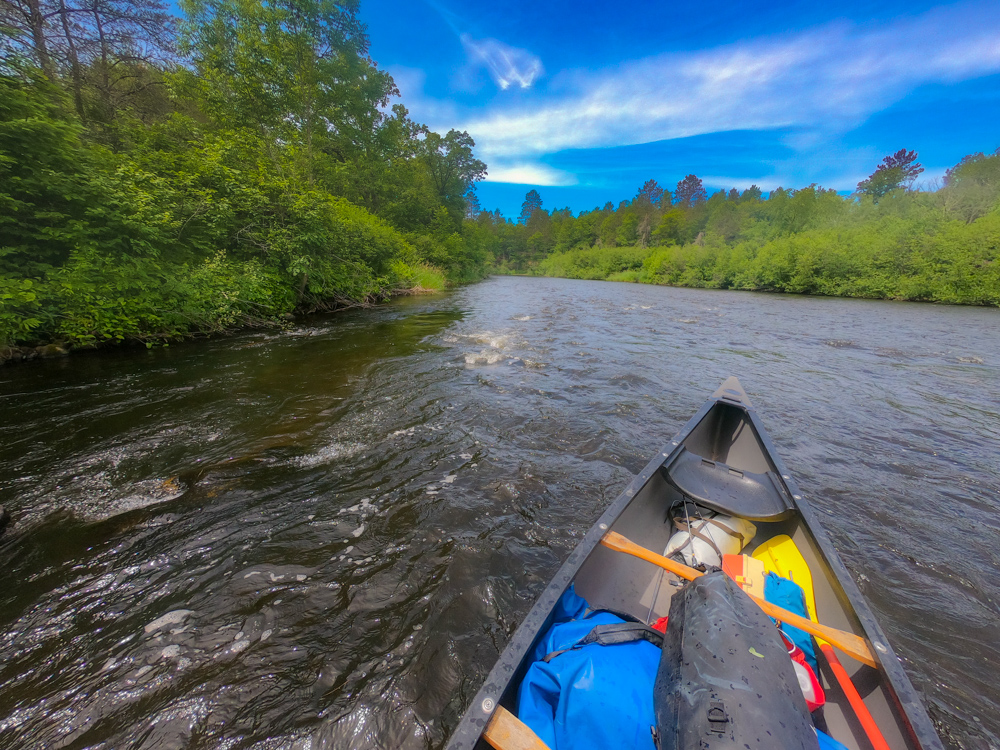
Photo courtesy of American Whitewater
Description
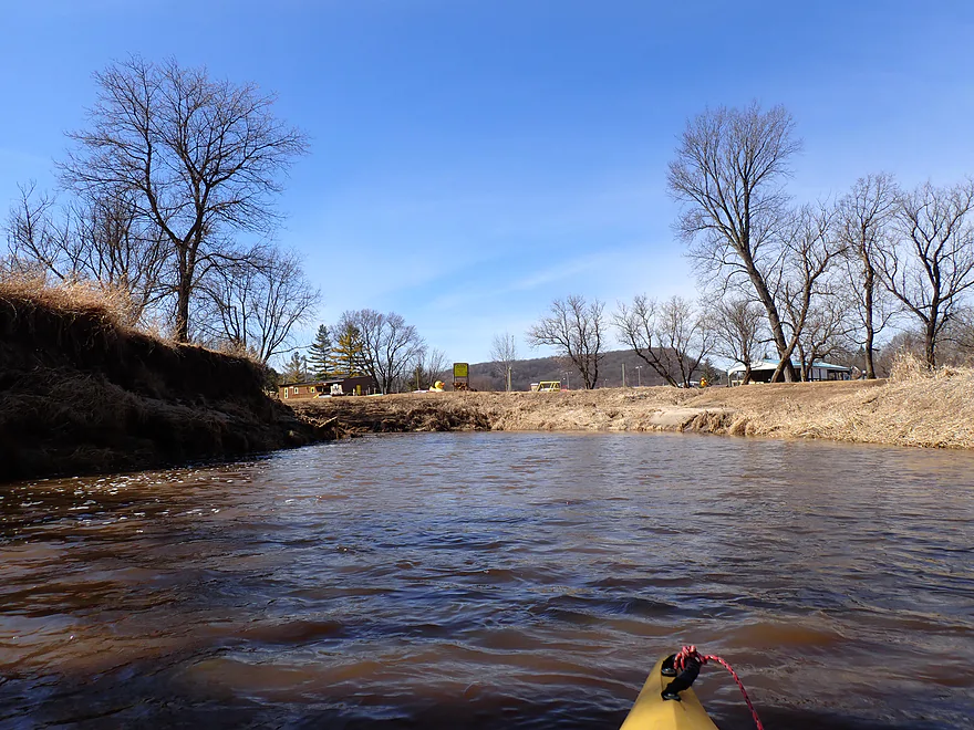
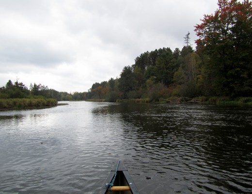
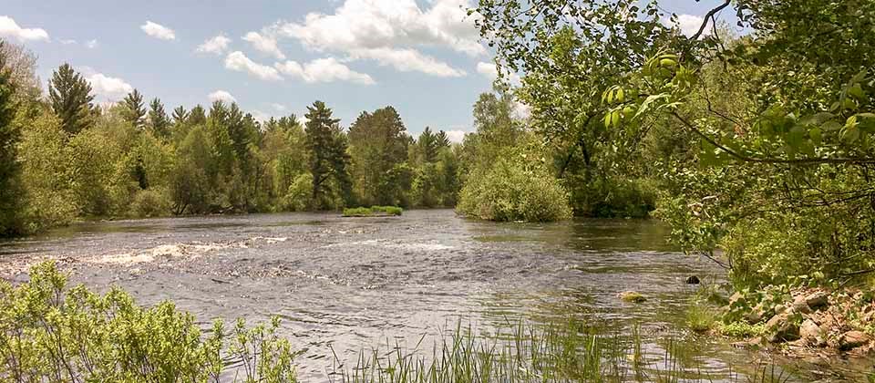
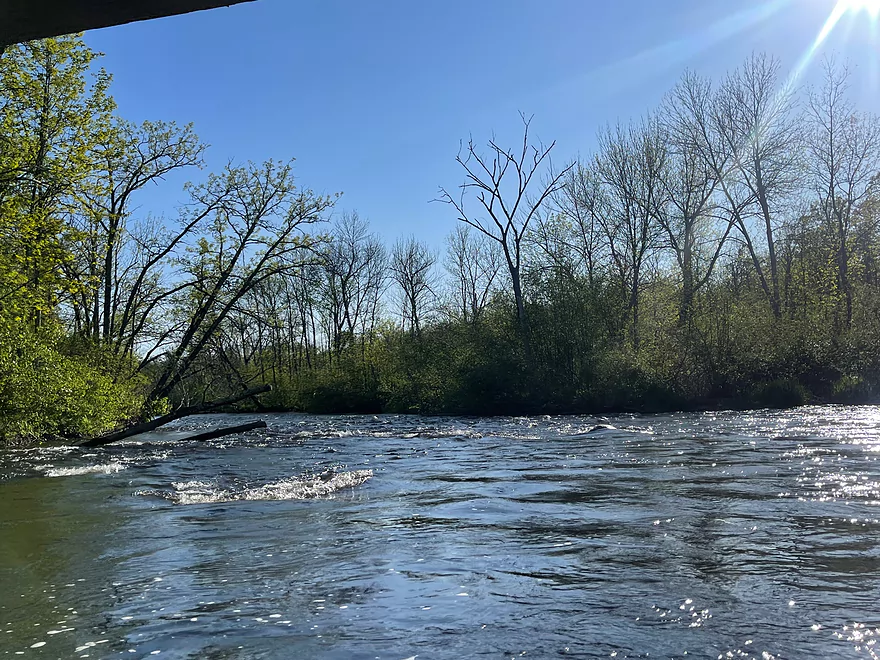
Thompson Bridge Landing marks the transition from calm water to a more dynamic river stretch, with scattered rocks and potential shallow areas requiring careful navigation. While not a highly technical rapid, paddlers should be alert for submerged obstacles and potential low-water conditions that could impact boat handling near the river mile 82.2 landing area.
Location
Interactive river map
Loads as you approach this section.
Other Rapids on This Run (20)
 Rapid
N/A
Rapid
N/A
Put In
 Rapid
N/A
Rapid
N/A
County Road M Landing
 Rapid
N/A
Rapid
N/A
Cap Creek Landing
 Rapid
N/A
Rapid
N/A
Phillipi Bridge Landing
 Rapid
N/A
Rapid
N/A
Cable Wayside and Landing
Rapid
N/A
Gage Location
 Rapid
N/A
Rapid
N/A
Pacwawong Flowage Landing
 Rapid
N/A
Rapid
N/A
Larsen Landing
 Rapid
N/A
Rapid
N/A
Phipps Landing
 Rapid
N/A
Rapid
N/A
Trout Run Landing
Rapid
N/A
Eagles Landing
Rapid
N/A
Hayward Landing
 Rapid
N/A
Rapid
N/A
West River Landing
 Rapid
N/A
Rapid
N/A
Stinnett Landing
 Rapid
N/A
Rapid
N/A
Groat Landing
 Rapid
N/A
Rapid
N/A
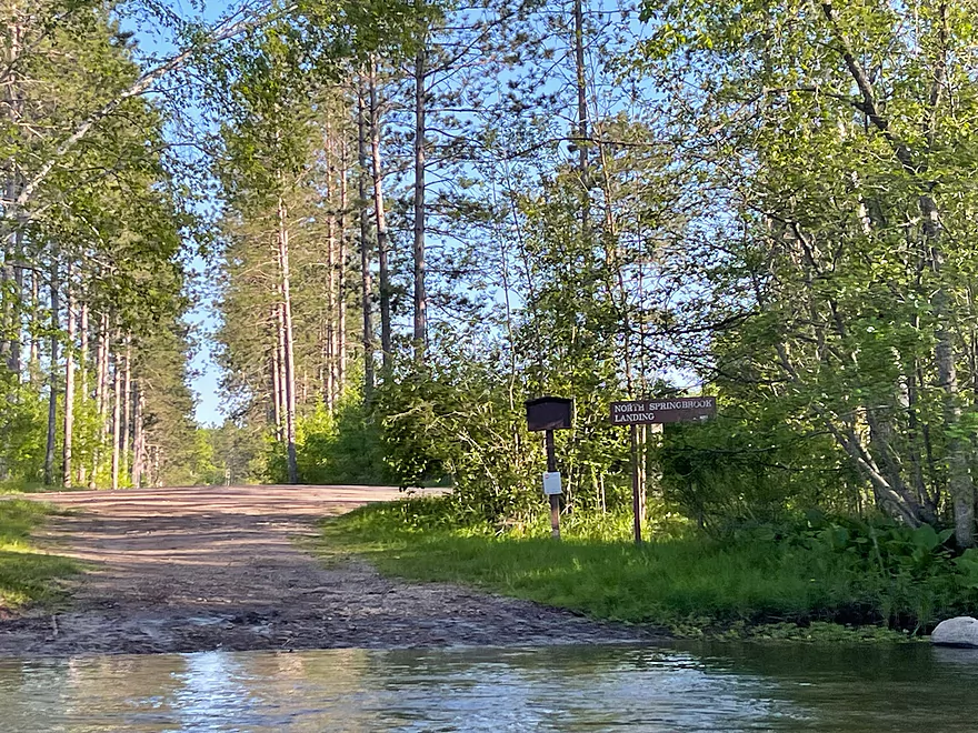
North Springbrook Landing
 Rapid
N/A
Rapid
N/A
Springbrook Landing
 Rapid
N/A
Rapid
N/A
Big Bend Landing
 Rapid
N/A
Rapid
N/A
Earl Park Landing
Rapid
N/A
Lakeside Road Landing and Visitor Center
View Full Run
Namekagon Dam to St. Croix River (up to 99 miles)
Namekagon
I-II
98.9 mi
Current Conditions
5-Day Forecast
Whitewater data from
American Whitewater
American Whitewater