Rapid
MI
Timber Ford
Save this feature with the run it belongs to.
Gauge Conditions
Runnable: 100.0 – 800.0 CFS
Likely too low for decent whitewater run.
Data from American Whitewater & USGS
Photo
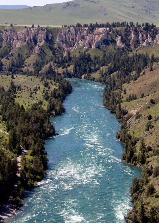
Photo courtesy of American Whitewater
Description
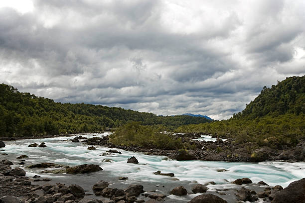
Just beyond a logged-off area, Google Maps indicates a possible ford (low-water crossing) of the stream. A brief shoals appears.
Location
Other Rapids on This Run (20)
 Rapid
N/A
Rapid
N/A
Put In
 Rapid
N/A
Rapid
N/A
USGS sampling site
 Rapid
N/A
Rapid
N/A
Island
 Rapid
II+
Rapid
II+
Canyon Rapid
Rapid
II
Rapids
Rapid
II
Rapids
 Rapid
N/A
Rapid
N/A
Short drop?
 Rapid
N/A
Rapid
N/A
Short drop?
Rapid
N/A
Confluence, O'Neal Creek
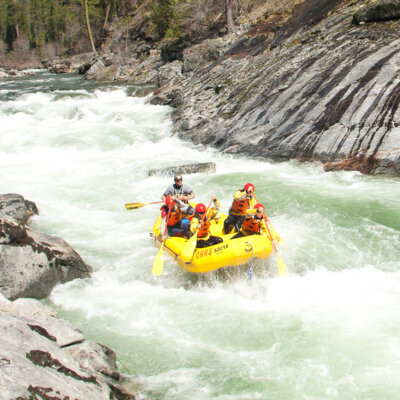 Rapid
II
Rapid
II
Fourth drop
 Rapid
II
Rapid
II
Short Rocky Wavetrain
 Rapid
I
Rapid
I
Long Shoals
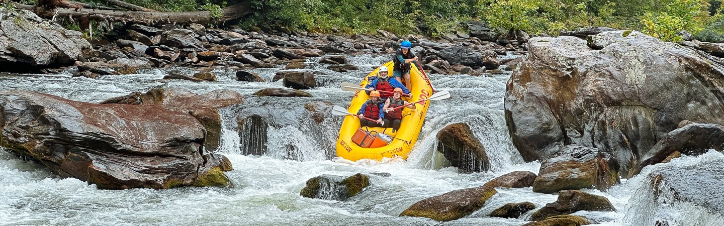 Rapid
I
Rapid
I
Short Shoals
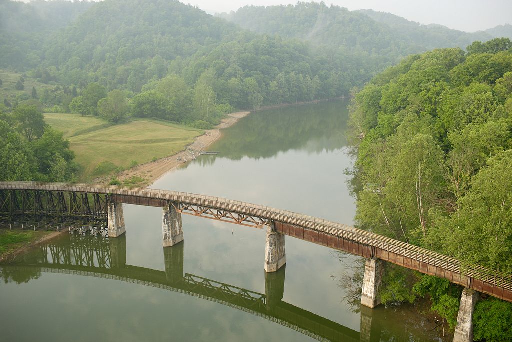 Rapid
I
Rapid
I
Broken Shoals
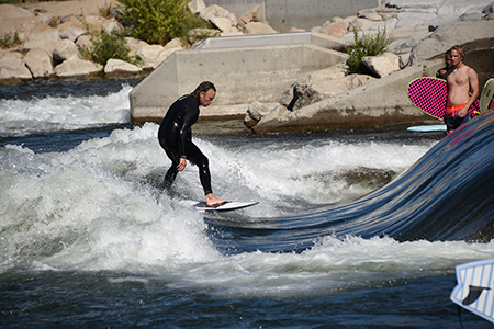 Rapid
N/A
Rapid
N/A
Confluence, unnamed creek
 Rapid
N/A
Rapid
N/A
Riffles and Rips
 Rapid
N/A
Rapid
N/A
Rock Pile
Rapid
N/A
Log Jam ?
Rapid
N/A
Rock Wall ?
 Rapid
N/A
Rapid
N/A
Possible minor ledge
View Full Run
Sands Plains Run: Section 20 Bridge to W.Iron Street (2 - 8.4 miles)
Escanaba, E.Br.
I-II(III)
7.8 mi
Current Conditions
5-Day Forecast
Whitewater data from
American Whitewater
American Whitewater