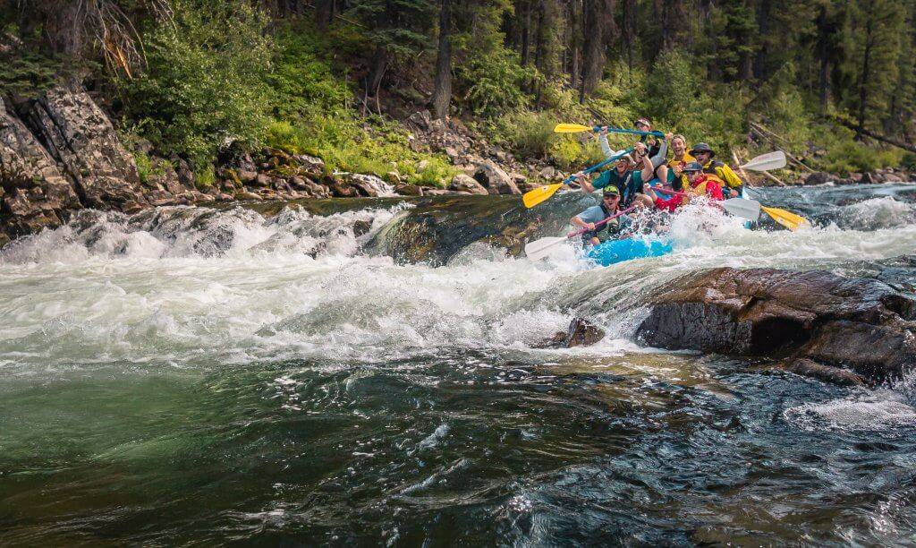
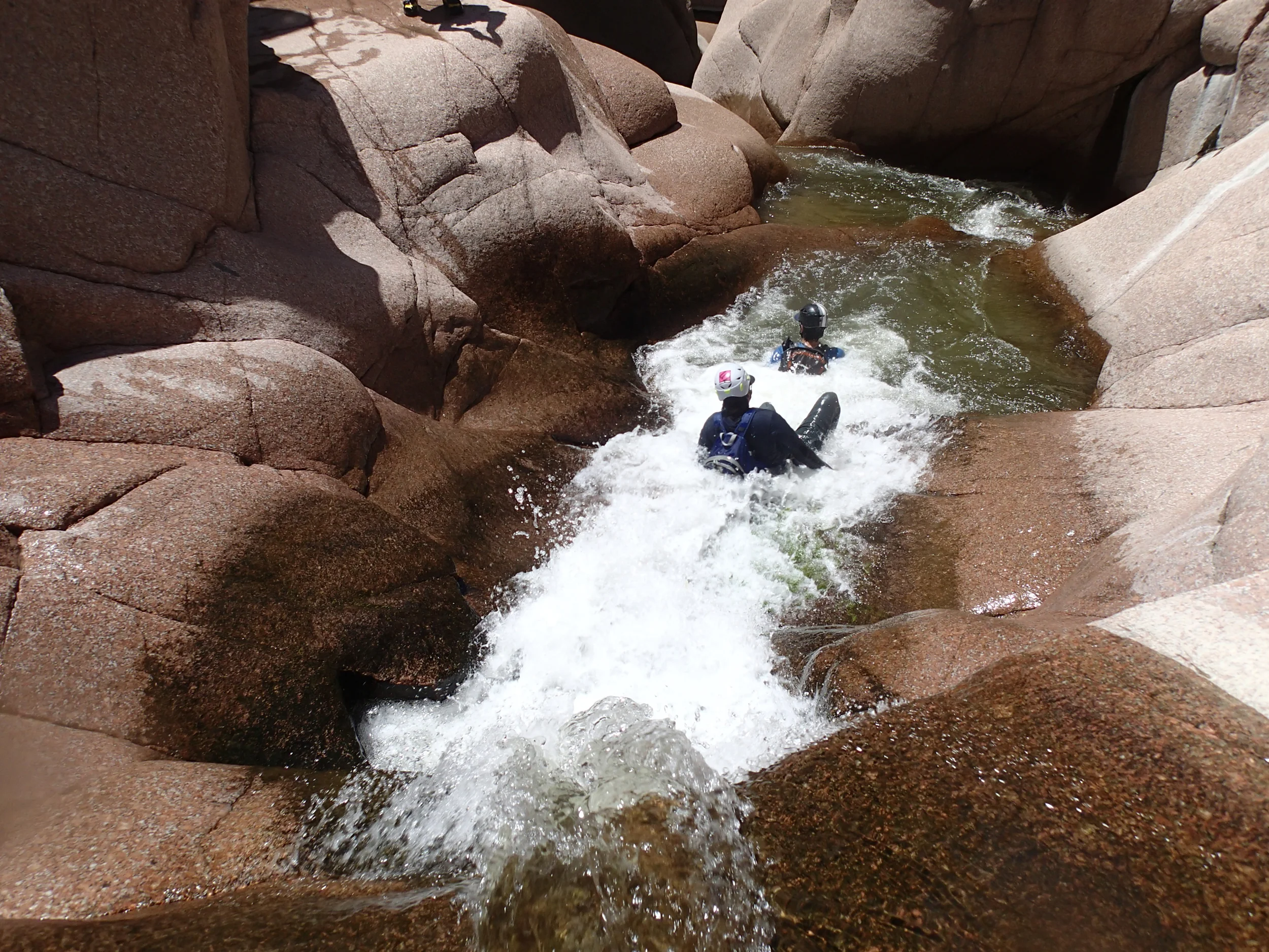
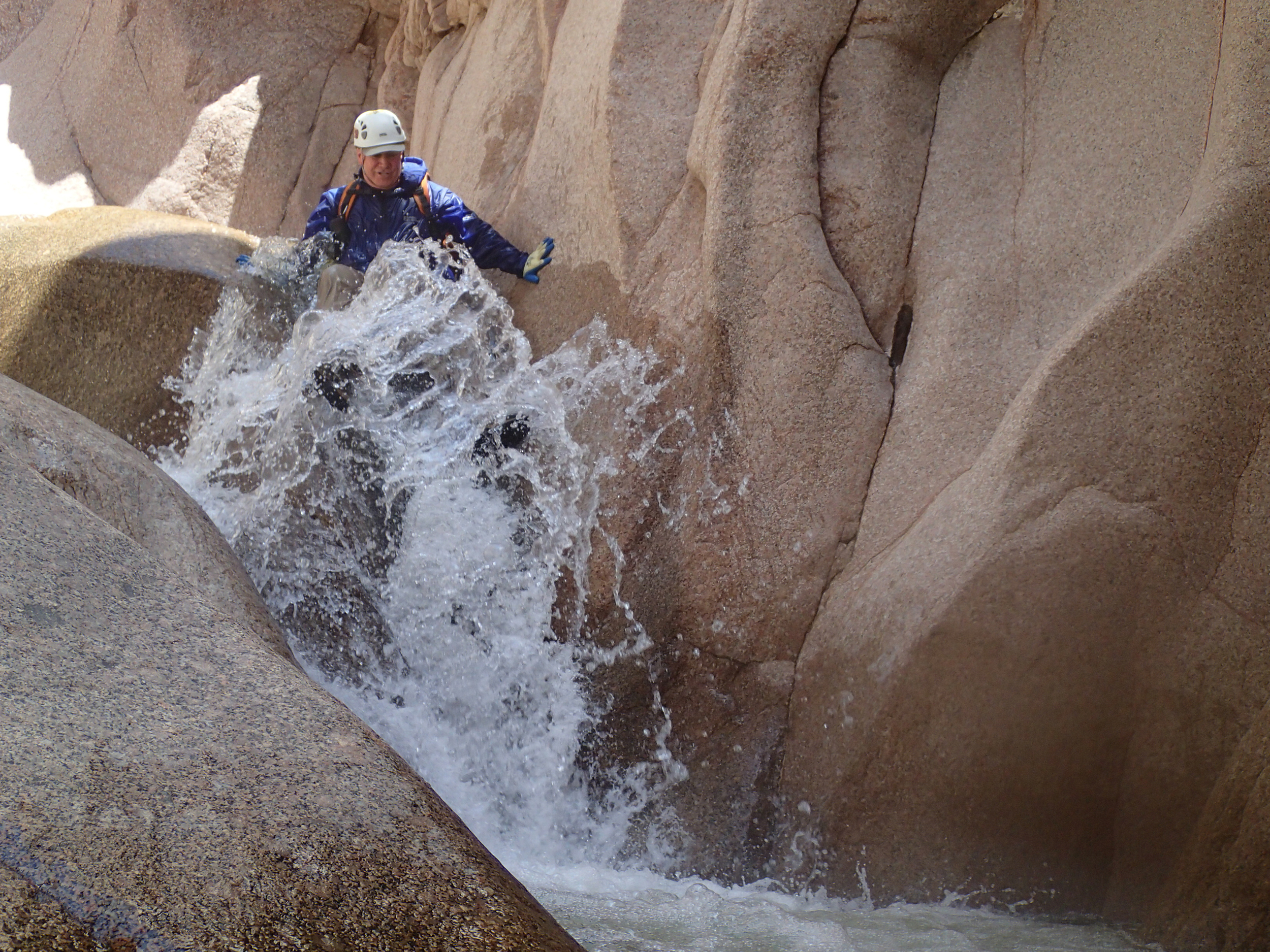
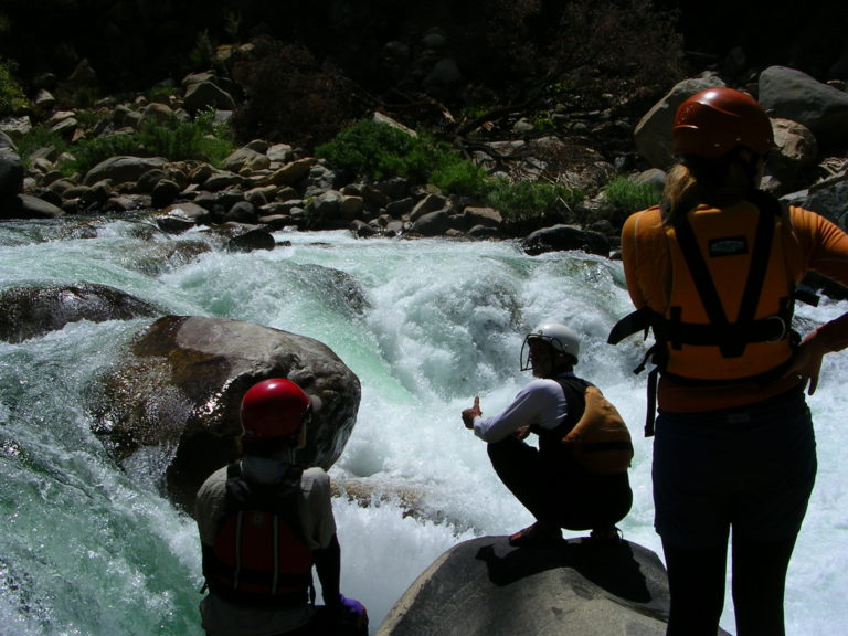
Rapid
AZ
Trailhead parking area
Save this feature with the run it belongs to.
Gauge Conditions
Data from American Whitewater & USGS
Description
The trail from the dirt road to the creek is about 2.5 miles. The elevation at the trailhead is 3310 feet. The elevation at the put in is 2800 feet, while the elevation at the take out is 2563 feet.
Location
Other Rapids on This Run (5)
View Full Run
01. The Jug
Salome Creek
V+
3.9 mi
Current Conditions
5-Day Forecast
Whitewater data from
American Whitewater
American Whitewater