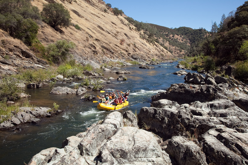
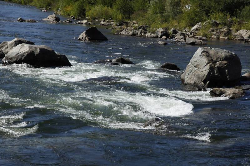
Troublemaker (Main Left Line)
Save this feature with the run it belongs to.
Gauge Conditions
Runnable: ? – ? CFS
Approximate - nearest available gauge. Use as general reference only.
Data from American Whitewater & USGS
CDEC Flow Data California
Data from California Data Exchange Center (CDEC)
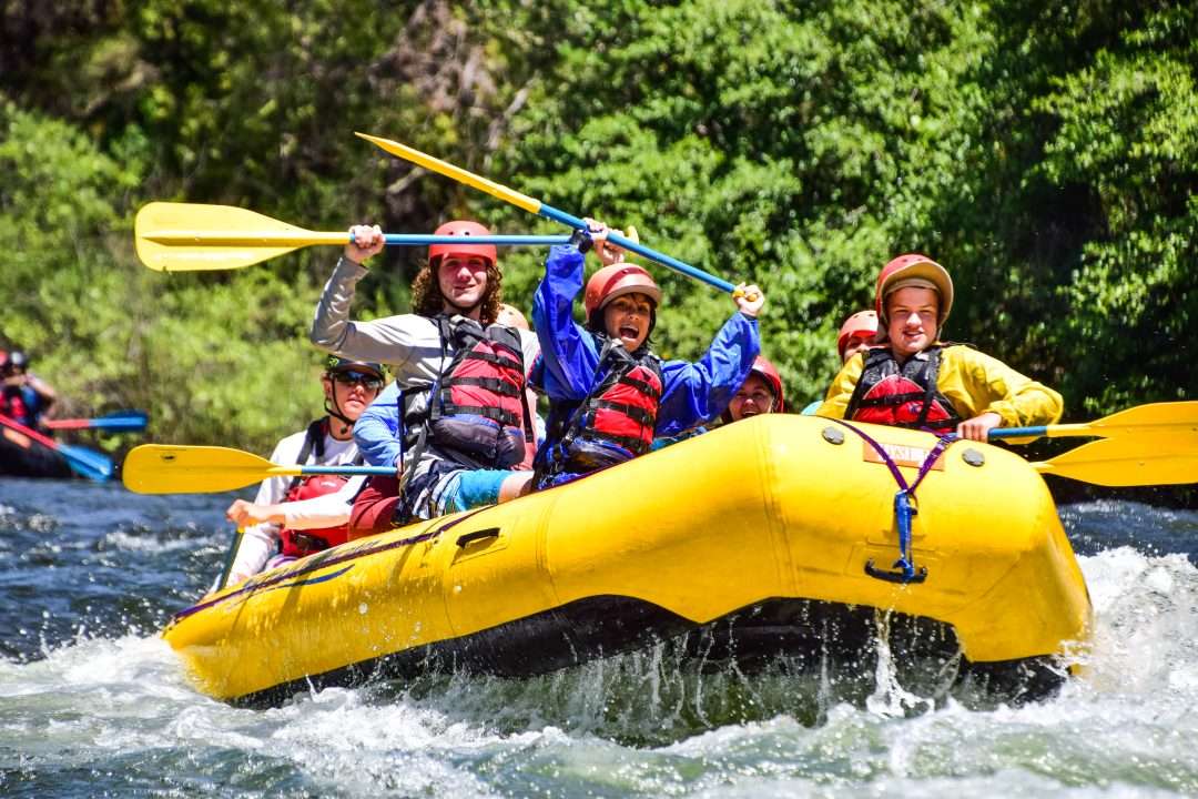
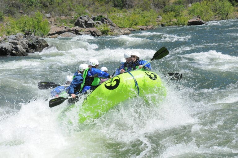
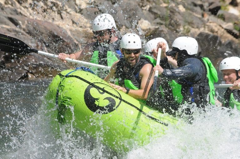
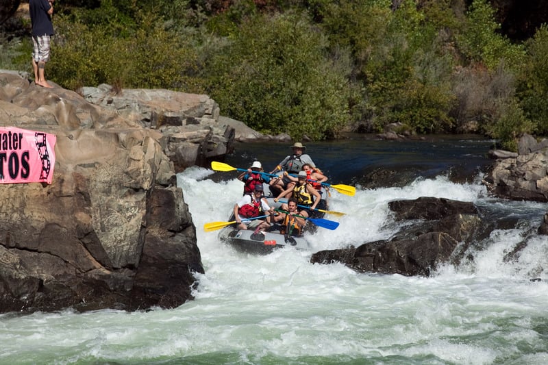
Photo
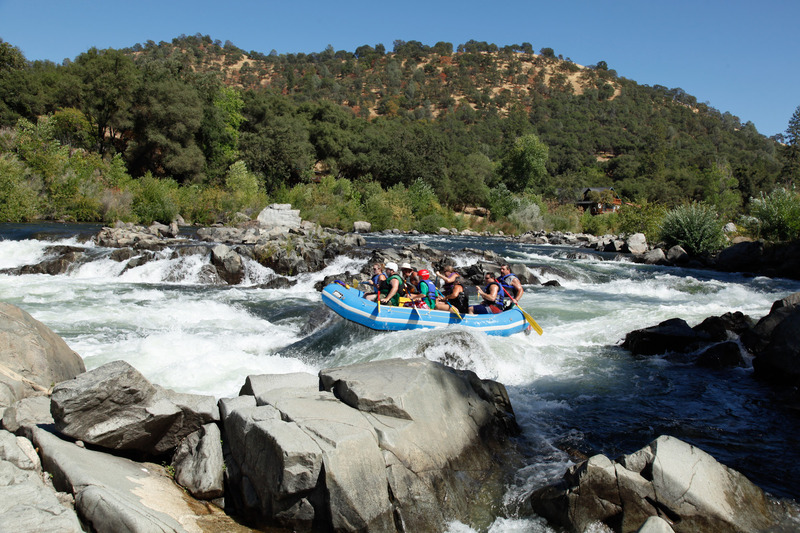
Photo courtesy of American Whitewater
Description
This short but steep and tricky drop is at the end of the run and thus convenient for spectators, photographers, and other lovers of entertaining carnage. The current splits around a rocky island. The standard route is to the left side. Several ledges and turbulent waves persuade boaters to paddle on the outside left as the channel curves sharply right. Kayakers often tip over here. Those still upright must paddle hard to get to either side of Gunsight rock which forms the final steep drop. Paddle past or through some smaller ledge holes then eddy out and see what happens to the next boaters through.
Location
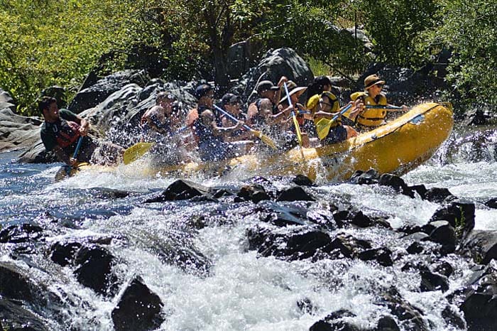
Other Rapids on This Run (17)
 Playspot
N/A
Playspot
N/A
Chili Bar River Park - Put-in
 Rapid
II
Rapid
II
Chili Bar Hole
Rapid
II
Bed and Breakfast
 Rapid
III+
Rapid
III+
Meatgrinder
 Rapid
III-
Rapid
III-
Racehorse Bend
 Rapid
II+
Rapid
II+
Maya
 Rapid
II
Rapid
II
Rock Garden
 Rapid
II+
Rapid
II+
African Queen
 Rapid
III
Rapid
III
First Threat
 Rapid
II+
Rapid
II+
Second Threat
 Rapid
III-
Rapid
III-
Third Threat
 Rapid
II+
Rapid
II+
The Narrows
 Rapid
II+
Rapid
II+
Mini Gorge
 Rapid
II
Rapid
II
Swimmer's Rapid
 Rapid
III+
Rapid
III+
Trouble Maker (Double Trouble Line)
 Hazard
III
Hazard
III
Hazard Rock below Troublemaker
 Rapid
N/A
Rapid
N/A
Marshall Gold State Park
View Full Run
6. Route 193 to Coloma
American, South Fork
III
6.0 mi
Current Conditions
5-Day Forecast
Whitewater data from
American Whitewater
American Whitewater