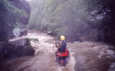
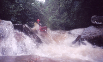
Truck Stop at high water
Save this feature with the run it belongs to.
No sufficiently local live gauge linked. 1 automated match was excluded because locality could not be verified. Use the parent run and local sources before making a trip decision.
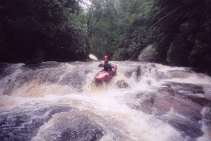
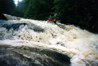
Photo
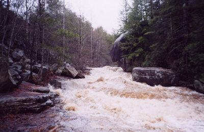
Photo courtesy of American Whitewater
Description
At high water the rapid is essentailly one big drop that links the 3rd, 4th, and 5th rapids into one quarter miles class V thing.
Location
Interactive river map
Loads as you approach this section.
View Full Run
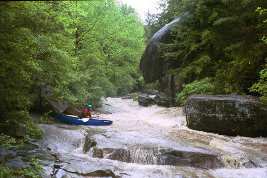
Dirt road off Hwy 11 to Hwy 11 bridge
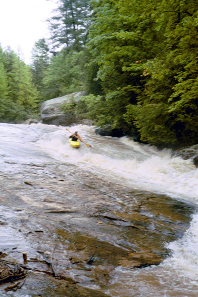
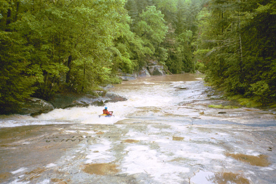
Little Eastatoe
III-IV
0.7 mi
Hazard — Exercise extreme caution in this area.
Current Conditions
5-Day Forecast
Whitewater data from
American Whitewater
American Whitewater