Take-out
CO
Tunnel Picnic Site Take-Out
Save this feature with the run it belongs to.
Gauge Conditions
Runnable: ? – ? CFS
Approximate - nearest available gauge. Use as general reference only.
Data from American Whitewater & USGS
Photo
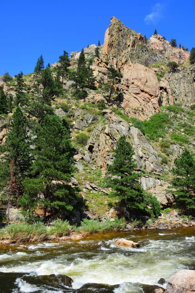
Photo courtesy of American Whitewater
Description
Access is at the Tunnel Picnic Site administered by Arapaho and Roosevelt National Forests.
Location
Interactive river map
Loads as you approach this section.
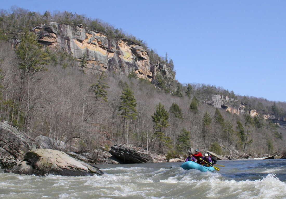
Other Rapids on This Run (1)
View Full Run
02. Big South Campground to Tunnel Picnic Ground
Cache La Poudre
V
2.4 mi
Current Conditions
5-Day Forecast
Whitewater data from
American Whitewater
American Whitewater