Rapid
MO
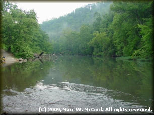
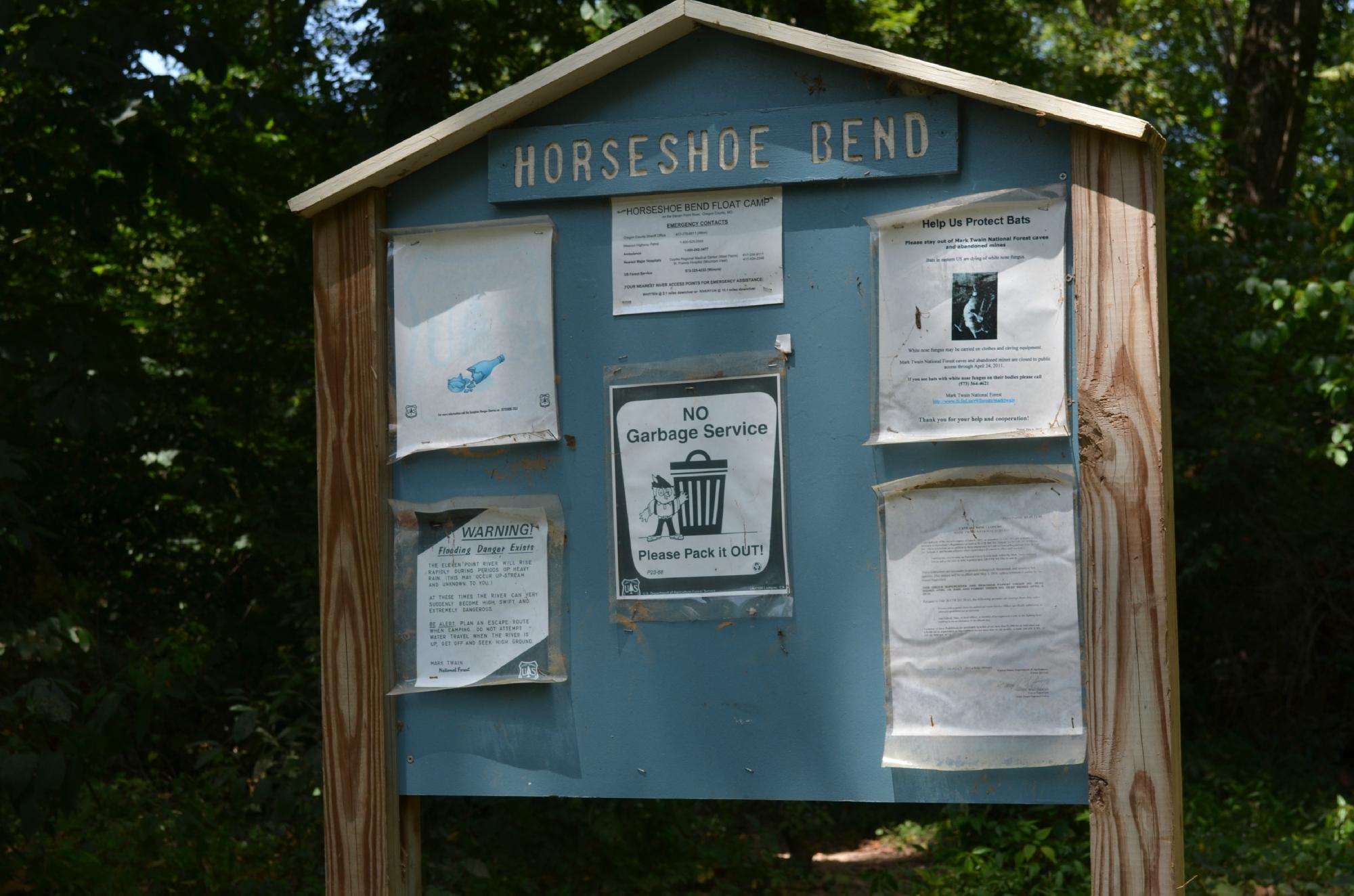
Turner Mill North River Access, river left
Save this feature with the run it belongs to.
Gauge Conditions
Data from American Whitewater & USGS
Photo
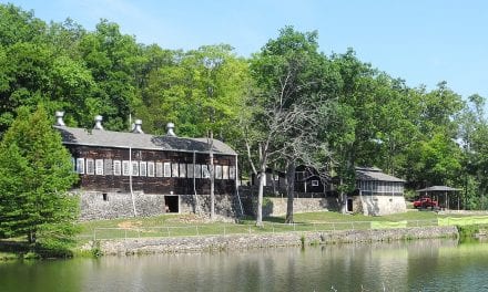
Photo courtesy of American Whitewater
Description
This is a day-use site administered by Mark Twain National Forest at the site of the old Turner Mill. Turner Spring, which has a 1.5-million-gallon average daily flow, flows from a high rocky bluff and was used to power a 25ft metal mill.
Location


View Full Run
Highway 19 to Highway 160 (19 miles)
Eleven Point
I
19.8 mi
Current Conditions
5-Day Forecast
Whitewater data from
American Whitewater
American Whitewater