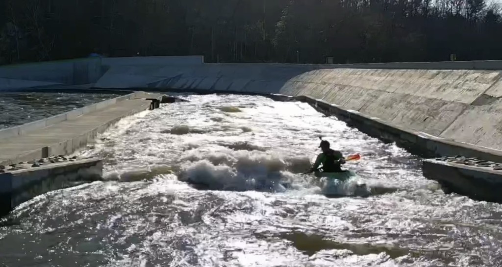
Turtleback Rapid
Save this feature with the run it belongs to.
Gauge Conditions
Runnable: ? – ? CFS
Approximate - nearest available gauge. Use as general reference only.
Data from American Whitewater & USGS
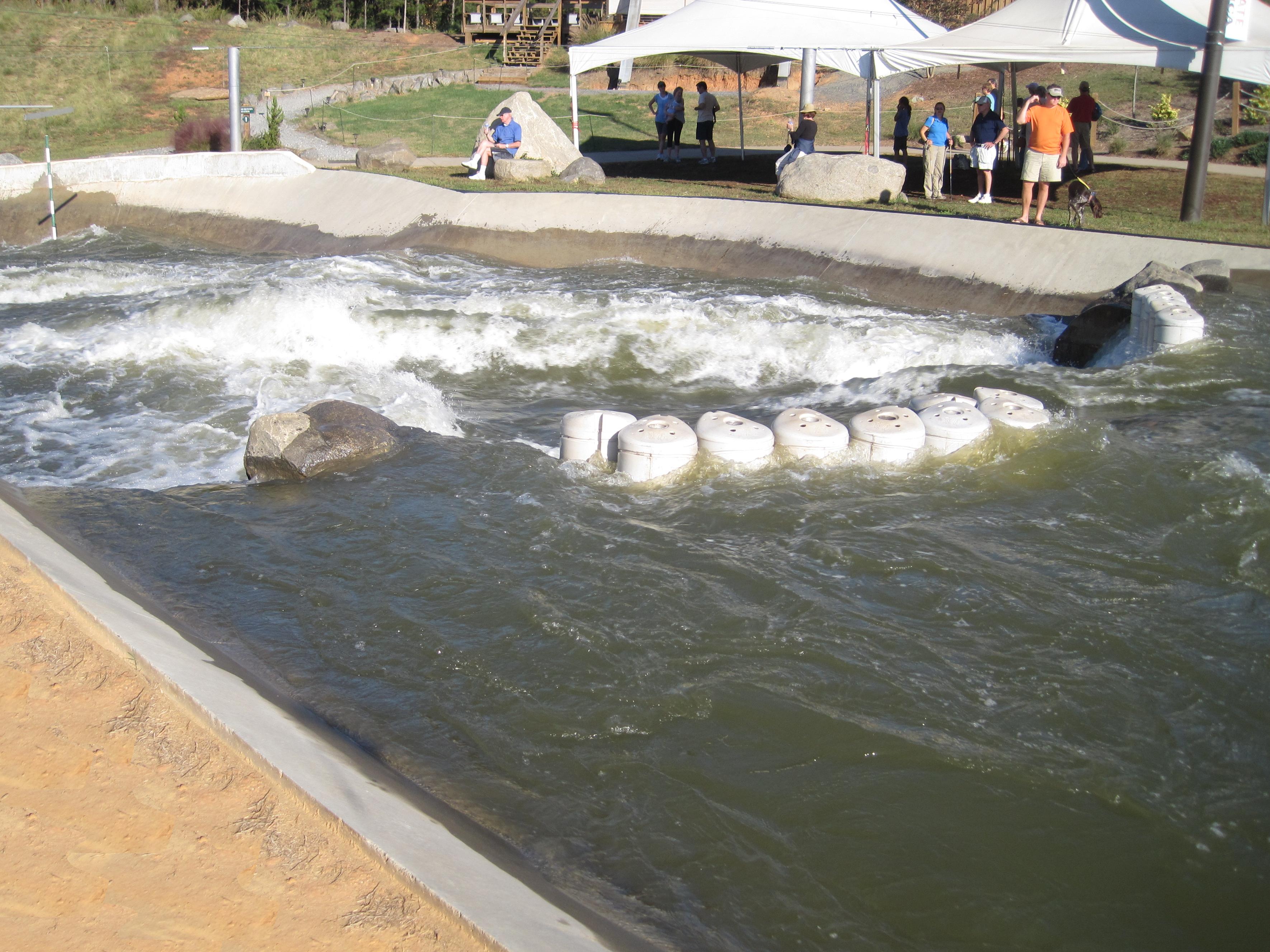
Photo
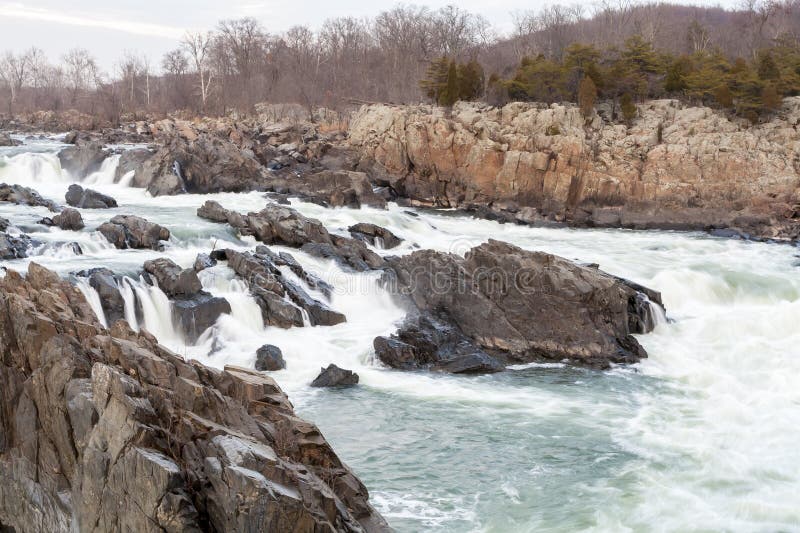
Photo courtesy of American Whitewater
Description
Starting at the dam, the main flow goes left around a rocky island with a few trees. Flow is then split by a logjam. Line is to the right of the logjam. Immediately past the logjam there is Turtleback . There are (at least) 2 options. Go just left of the exposed rock on the right for a straight drop (this might turn into a nasty pour-over at release levels), or head straight down the center, avoiding the Turtle Back shaped rock that is just under the surface about 8' from the river left bank.
Location
Other Rapids on This Run (5)
View Full Run
Great Falls Short Channel
Catawba
III+
0.7 mi
Current Conditions
5-Day Forecast
Whitewater data from
American Whitewater
American Whitewater