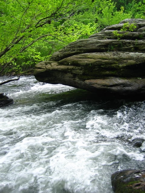
Undercut Rock
Save this feature with the run it belongs to.
Gauge Conditions
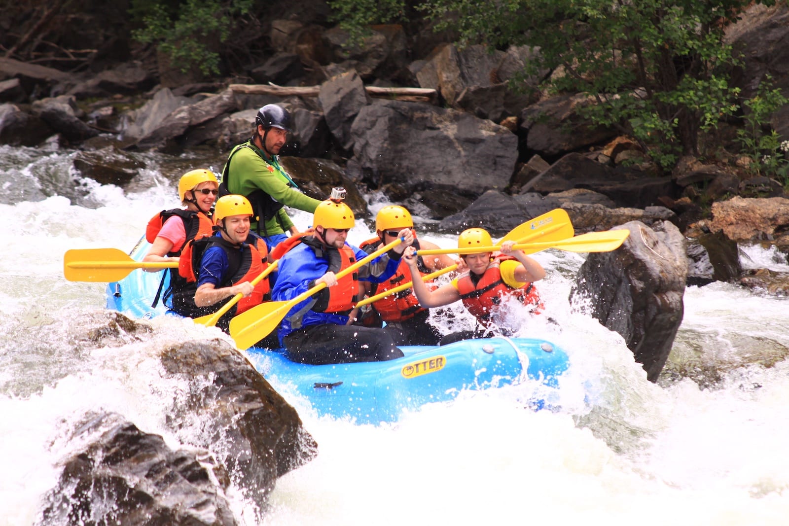
Photo
Description
Patrick Martin shared:
There are several undercut rocks on this trip, but one you should be aware of is located at N 36o 7.653’, W 84o 45.238’, about two miles before Jett Bridge. Upon approaching this area, the River narrows and turns to the left in a shallow chute that increases its velocity. The left shore has exposed flint and shale with an overhanging rhododendron and hemlock forest. As one comes out of this chute the river splits. A small stream goes left, and the main current goes river right. If you take the small stream to the left, you will avoid the undercut. If you do take the right passage, do it at high water levels. Above 5’ at the Jett Bridge gauge (8.75’ at Lilly) one will not have to experience the sickening pull on the bottom of the boat just before being sucked in. At lower levels, trip rocks (beginning in the middle of the passage) will take an unwary boater left and directly into this dark crevice.
Note: we are not sure that the photo shown depicts this particular undercut. We're using it to give an idea of the typical hazard on this reach.
Location
Other Rapids on This Run (4)

Current Conditions
5-Day Forecast
American Whitewater