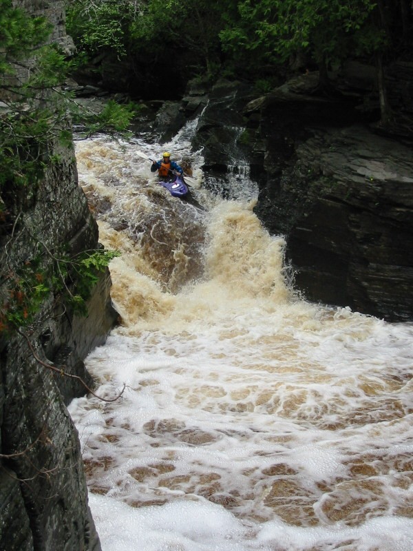
Upper Falls
Save this feature with the run it belongs to.
Gauge Conditions
Runnable: 250.0 – 600.0 CFS
Generally too low for decent whitewater run.
Data from American Whitewater & USGS
Photo
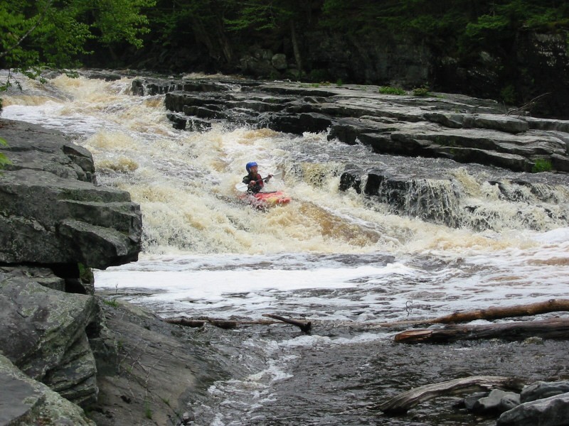
Photo courtesy of American Whitewater
Description
Generally run to the right on a sweet bedrock slide (with a few interesting diagonal waves and holes thrown in for interest).
Take out immediately after running this and carry back up to your vehicle (or to re-run the reach)!
Location
Interactive river map
Loads as you approach this section.

View Full Run
C) Sturgeon Canyon: Hwy.41 to Upper Falls (0.75 miles)
Sturgeon (Baraga)
IV-V
0.7 mi
Current Conditions
5-Day Forecast
Whitewater data from
American Whitewater
American Whitewater