Rapid
MN
USGS gauge: Drainage 929 sq.mi.
Save this feature with the run it belongs to.
Gauge Conditions
Runnable: ? – ? CFS
Approximate - nearest available gauge. Use as general reference only.
Data from American Whitewater & USGS
Photo
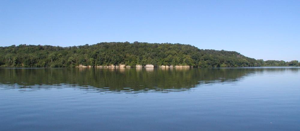
Photo courtesy of American Whitewater
Description
The Cannon River rapid near the Ames Dam presents an evolving whitewater environment, with potential future restructuring that could introduce new play features for advanced paddlers. Current conditions and specific characteristics are not well-documented, suggesting the need for local beta and recent scouting before attempting navigation. Paddlers should be prepared for potential dam-related hazards and carefully assess water levels and flow conditions before attempting this section.
Location
Interactive river map
Loads as you approach this section.
Other Rapids on This Run (2)
View Full Run
A) Northfield: Ames (Malt-o-Meal) Dam (*Proposed* restructuring with possible play features)
Cannon
II
0.0 mi
Current Conditions
5-Day Forecast
Whitewater data from
American Whitewater
American Whitewater